Distance to Caesars Superdome, Louisiana

Calculating Your Route
Just a moment while we process your request...
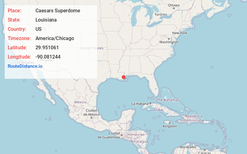
Location Information
-
Full AddressCaesars Superdome, 1500 Sugar Bowl Dr, New Orleans, LA 70112
-
Coordinates29.951061, -90.0812442
-
Street1500 Sugar Bowl Dr
-
NeighborhoodWarehouse District
-
LocationNew Orleans , Louisiana , US
-
TimezoneAmerica/Chicago
-
Current Local Time10:29:26 PM America/ChicagoTuesday, May 27, 2025
-
Website
-
Page Views0
About Caesars Superdome
166,000-square-foot stadium & home to the New Orleans Saints plus other special events & concerts.


Nearby Places
Found 10 places within 50 miles

New Orleans
0.3 mi
0.5 km
New Orleans, LA
Get directions

Gretna
3.0 mi
4.8 km
Gretna, LA
Get directions

Harvey
3.3 mi
5.3 km
Harvey, LA
Get directions

Marrero
3.8 mi
6.1 km
Marrero, LA 70072
Get directions

Southport
3.8 mi
6.1 km
Southport, Jefferson, LA 70121
Get directions

Terrytown
4.1 mi
6.6 km
Terrytown, LA
Get directions

Jefferson
4.4 mi
7.1 km
Jefferson, LA 70121
Get directions

Arabi
4.5 mi
7.2 km
Arabi, LA 70032
Get directions
Walkertown
4.6 mi
7.4 km
Walkertown, Marrero, LA 70072
Get directions

Westwego
4.8 mi
7.7 km
Westwego, LA
Get directions
Location Links
Local Weather
Weather Information
Coming soon!
Location Map
Static map view of Caesars Superdome, Louisiana
Browse Places by Distance
Places within specific distances from Caesars Superdome
Short Distances
Long Distances
Click any distance to see all places within that range from Caesars Superdome. Distances shown in miles (1 mile ≈ 1.61 kilometers).