Distance to Caffeyville, Missouri

Calculating Your Route
Just a moment while we process your request...
Location Information
-
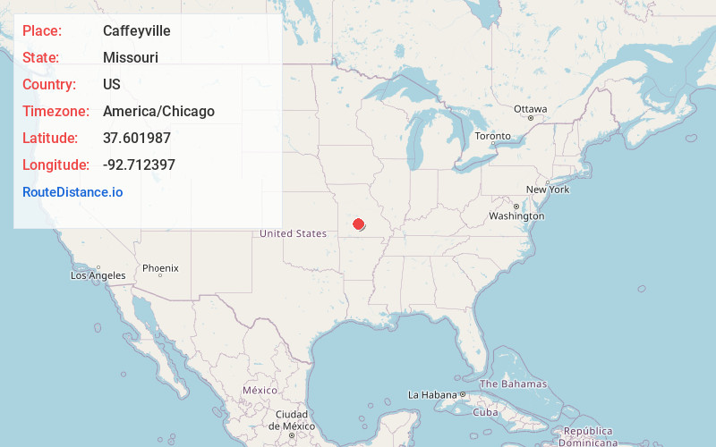
Full AddressCaffeyville, Phillipsburg Township, MO 65722
-
Coordinates37.6019871, -92.7123974
-
LocationPhillipsburg Township , Missouri , US
-
TimezoneAmerica/Chicago
-
Current Local Time8:57:37 PM America/ChicagoTuesday, June 3, 2025
-
Page Views0
About Caffeyville
Caffeyville is an unincorporated community in Laclede County, Missouri, United States, along the former U.S. Route 66. It is located approximately five miles southwest of Lebanon on Route W, adjacent to Interstate 44.
The community has the name of Jessie Floyd Caffey, the proprietor of a gas station.
Nearby Places
Found 10 places within 50 miles

Phillipsburg
5.2 mi
8.4 km
Phillipsburg, MO
Get directions

Lebanon
6.0 mi
9.7 km
Lebanon, MO 65536
Get directions

Morgan
6.6 mi
10.6 km
Morgan, Union Township, MO 65632
Get directions

Evergreen
7.5 mi
12.1 km
Evergreen, MO
Get directions

Conway
9.1 mi
14.6 km
Conway, MO 65632
Get directions

Bennett Springs
11.7 mi
18.8 km
Bennett Springs, MO 65536
Get directions
Vance
11.8 mi
19.0 km
Vance, Union Township, MO 65713
Get directions
Drew
13.9 mi
22.4 km
Drew, MO 65536
Get directions
Grovespring
15.1 mi
24.3 km
Grovespring, MO 65662
Get directions
Eldridge
15.9 mi
25.6 km
Eldridge, MO 65536
Get directions
Location Links
Local Weather
Weather Information
Coming soon!
Location Map
Static map view of Caffeyville, Missouri
Browse Places by Distance
Places within specific distances from Caffeyville
Short Distances
Long Distances
Click any distance to see all places within that range from Caffeyville. Distances shown in miles (1 mile ≈ 1.61 kilometers).