Distance to Phillipsburg, Missouri

Calculating Your Route
Just a moment while we process your request...
Location Information
-
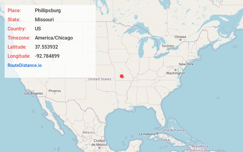
Full AddressPhillipsburg, MO
-
Coordinates37.5539323, -92.7848985
-
LocationPhillipsburg , Missouri , US
-
TimezoneAmerica/Chicago
-
Current Local Time2:45:25 AM America/ChicagoMonday, June 23, 2025
-
Page Views0
About Phillipsburg
Phillipsburg is a village in Laclede County, Missouri, United States. The population was 202 at the 2010 census. It is home to Redmon’s Candy Factory and the World’s Largest Gift Store.


Nearby Places
Found 10 places within 50 miles

Conway
4.1 mi
6.6 km
Conway, MO 65632
Get directions

Lebanon
11.0 mi
17.7 km
Lebanon, MO 65536
Get directions

Niangua
11.8 mi
19.0 km
Niangua, MO 65713
Get directions

Marshfield
16.8 mi
27.0 km
Marshfield, MO 65706
Get directions

Buffalo
17.9 mi
28.8 km
Buffalo, MO 65622
Get directions

Fair Grove
23.3 mi
37.5 km
Fair Grove, MO 65648
Get directions

Stoutland
23.3 mi
37.5 km
Stoutland, MO
Get directions

Hartville
25.8 mi
41.5 km
Hartville, MO 65667
Get directions

Diggins
26.6 mi
42.8 km
Diggins, MO 65746
Get directions

Strafford
26.9 mi
43.3 km
Strafford, MO 65757
Get directions
Location Links
Local Weather
Weather Information
Coming soon!
Location Map
Static map view of Phillipsburg, Missouri
Browse Places by Distance
Places within specific distances from Phillipsburg
Short Distances
Long Distances
Click any distance to see all places within that range from Phillipsburg. Distances shown in miles (1 mile ≈ 1.61 kilometers).