Distance to Diggins, Missouri

Calculating Your Route
Just a moment while we process your request...
Location Information
-
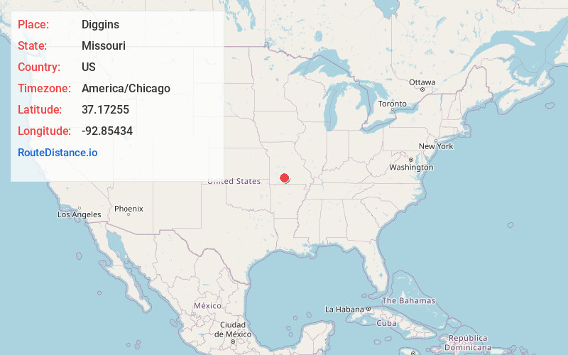
Full AddressDiggins, MO 65746
-
Coordinates37.1725502, -92.8543399
-
LocationDiggins , Missouri , US
-
TimezoneAmerica/Chicago
-
Current Local Time3:11:56 PM America/ChicagoThursday, May 22, 2025
-
Page Views0
About Diggins
Diggins is a village in southeastern Webster County, Missouri, United States. The population was 299 at the 2010 census. It is part of the Springfield, Missouri Metropolitan Statistical Area.
Nearby Places
Found 10 places within 50 miles

Fordland
4.8 mi
7.7 km
Fordland, MO 65652
Get directions

Seymour
5.0 mi
8.0 km
Seymour, MO 65746
Get directions

Marshfield
11.3 mi
18.2 km
Marshfield, MO 65706
Get directions

Rogersville
11.7 mi
18.8 km
Rogersville, MO 65742
Get directions

Niangua
14.9 mi
24.0 km
Niangua, MO 65713
Get directions

Mansfield
15.7 mi
25.3 km
Mansfield, MO 65704
Get directions

Strafford
15.9 mi
25.6 km
Strafford, MO 65757
Get directions

Sparta
17.2 mi
27.7 km
Sparta, MO 65753
Get directions

Ava
18.6 mi
29.9 km
Ava, MO 65608
Get directions

Hartville
19.7 mi
31.7 km
Hartville, MO 65667
Get directions
Location Links
Local Weather
Weather Information
Coming soon!
Location Map
Static map view of Diggins, Missouri
Browse Places by Distance
Places within specific distances from Diggins
Short Distances
Long Distances
Click any distance to see all places within that range from Diggins. Distances shown in miles (1 mile ≈ 1.61 kilometers).