Distance to Ava, Missouri

Calculating Your Route
Just a moment while we process your request...
Location Information
-
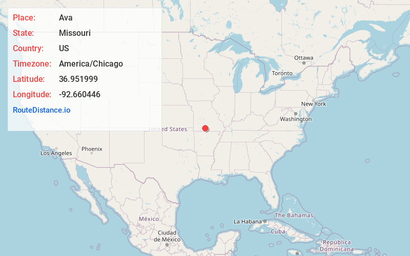
Full AddressAva, MO 65608
-
Coordinates36.951999, -92.6604457
-
LocationAva , Missouri , US
-
TimezoneAmerica/Chicago
-
Current Local Time9:07:09 PM America/ChicagoMonday, June 9, 2025
-
Page Views0
About Ava
Ava is the only incorporated city in Douglas County, Missouri, United States. The population was 2,894 at the 2020 census. Ava is the county seat of Douglas County. The city was founded in 1871. It was renamed Ava in 1881, the town's original name having been "Militia Springs."


Nearby Places
Found 10 places within 50 miles

Rogersville
24.6 mi
39.6 km
Rogersville, MO 65742
Get directions

Mountain Grove
25.1 mi
40.4 km
Mountain Grove, MO 65711
Get directions

Marshfield
29.4 mi
47.3 km
Marshfield, MO 65706
Get directions

Ozark
30.5 mi
49.1 km
Ozark, MO
Get directions

Nixa
35.5 mi
57.1 km
Nixa, MO 65714
Get directions

Branson
37.5 mi
60.4 km
Branson, MO 65616
Get directions

Hollister
38.3 mi
61.6 km
Hollister, MO 65672
Get directions

Springfield
39.1 mi
62.9 km
Springfield, MO
Get directions

Battlefield
40.8 mi
65.7 km
Battlefield, MO
Get directions

Mountain Home
45.0 mi
72.4 km
Mountain Home, AR
Get directions
Location Links
Local Weather
Weather Information
Coming soon!
Location Map
Static map view of Ava, Missouri
Browse Places by Distance
Places within specific distances from Ava
Short Distances
Long Distances
Click any distance to see all places within that range from Ava. Distances shown in miles (1 mile ≈ 1.61 kilometers).