Distance to Cahone, Colorado

Calculating Your Route
Just a moment while we process your request...
Location Information
-
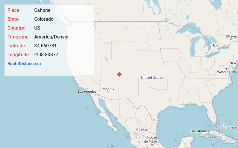
Full AddressCahone, CO 81320
-
Coordinates37.6607813, -108.8087696
-
LocationCahone , Colorado , US
-
TimezoneAmerica/Denver
-
Current Local Time10:38:02 AM America/DenverMonday, June 2, 2025
-
Page Views0
About Cahone
Cahone is an unincorporated village in western Dolores County, Colorado, United States, about 9 miles southeast of Dove Creek straddling U.S. Highway 491.


Nearby Places
Found 10 places within 50 miles

Dove Creek
9.0 mi
14.5 km
Dove Creek, CO 81324
Get directions

Yellow Jacket
10.1 mi
16.3 km
Yellow Jacket, CO 81335
Get directions

Lewis
13.5 mi
21.7 km
Lewis, CO 81327
Get directions
Northdale
15.3 mi
24.6 km
Northdale, CO 81324
Get directions
Eastland
20.3 mi
32.7 km
Eastland, UT 84535
Get directions

Dolores
21.1 mi
34.0 km
Dolores, CO 81323
Get directions

Cortez
24.8 mi
39.9 km
Cortez, CO 81321
Get directions
Slick Rock
26.1 mi
42.0 km
Slick Rock, CO 81325
Get directions

Stoner
27.2 mi
43.8 km
Stoner, CO 81323
Get directions
Verdure
30.8 mi
49.6 km
Verdure, UT 84535
Get directions
Location Links
Local Weather
Weather Information
Coming soon!
Location Map
Static map view of Cahone, Colorado
Browse Places by Distance
Places within specific distances from Cahone
Short Distances
Long Distances
Click any distance to see all places within that range from Cahone. Distances shown in miles (1 mile ≈ 1.61 kilometers).