Distance to Cahuilla, California

Calculating Your Route
Just a moment while we process your request...
Location Information
-
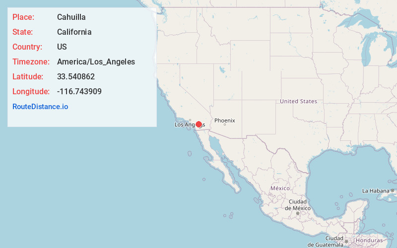
Full AddressCahuilla, CA 92539
-
Coordinates33.5408618, -116.7439092
-
LocationCahuilla , California , US
-
TimezoneAmerica/Los_Angeles
-
Current Local Time12:22:52 AM America/Los_AngelesSaturday, May 24, 2025
-
Page Views0
About Cahuilla
Cahuilla, pronounced, is an unincorporated community in Riverside County, California. It is part of the Cahuilla Reservation and lies in a high desert valley at an elevation of 3642 feet. It is located 27 miles south by road from mile-high Idyllwild. Cahuilla is on SR 371, about 4 miles west of Anza, California.
Nearby Places
Found 10 places within 50 miles

Lake Riverside
3.6 mi
5.8 km
Lake Riverside, CA 92536
Get directions

Anza
4.1 mi
6.6 km
Anza, CA 92539
Get directions

Thomas Mountain
8.4 mi
13.5 km
Thomas Mountain, CA 92561
Get directions

Aguanga
9.7 mi
15.6 km
Aguanga, CA 92536
Get directions
Radec
11.1 mi
17.9 km
Radec, CA 92536
Get directions

Sage
11.2 mi
18.0 km
Sage, CA
Get directions

Mountain Center
11.5 mi
18.5 km
Mountain Center, CA 92561
Get directions
Holcomb Village
13.1 mi
21.1 km
Holcomb Village, CA 92086
Get directions
Ribbonwood
14.3 mi
23.0 km
Ribbonwood, CA 92561
Get directions

Idyllwild-Pine Cove
14.3 mi
23.0 km
Idyllwild-Pine Cove, CA
Get directions
Location Links
Local Weather
Weather Information
Coming soon!
Location Map
Static map view of Cahuilla, California
Browse Places by Distance
Places within specific distances from Cahuilla
Short Distances
Long Distances
Click any distance to see all places within that range from Cahuilla. Distances shown in miles (1 mile ≈ 1.61 kilometers).