Distance to Cal-Nev-Ari, Nevada

Calculating Your Route
Just a moment while we process your request...
Location Information
-
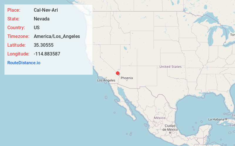
Full AddressCal-Nev-Ari, NV 89039
-
Coordinates35.3055496, -114.8835866
-
LocationCal-Nev-Ari , Nevada , US
-
TimezoneAmerica/Los_Angeles
-
Current Local Time4:40:27 AM America/Los_AngelesFriday, June 20, 2025
-
Page Views0
About Cal-Nev-Ari
Cal-Nev-Ari is a census-designated place on U.S. Route 95 in Clark County, Nevada, United States, near the state's southernmost point. As of the 2010 census, the town had a population of 244. The town's name is a syllabic abbreviation of California, Nevada, and Arizona.


Nearby Places
Found 10 places within 50 miles

Searchlight
11.2 mi
18.0 km
Searchlight, NV 89046
Get directions

Laughlin
19.9 mi
32.0 km
Laughlin, NV 89029
Get directions

Bullhead City
23.2 mi
37.3 km
Bullhead City, AZ
Get directions

Fort Mohave
25.7 mi
41.4 km
Fort Mohave, AZ
Get directions

Mesquite Creek
29.4 mi
47.3 km
Mesquite Creek, AZ 86440
Get directions

Mohave Valley
30.7 mi
49.4 km
Mohave Valley, AZ 86440
Get directions

Willow Valley
31.4 mi
50.5 km
Willow Valley, AZ 86440
Get directions

Needles
35.1 mi
56.5 km
Needles, CA 92363
Get directions

Arizona Village
35.5 mi
57.1 km
Arizona Village, AZ 86440
Get directions

Golden Valley
37.7 mi
60.7 km
Golden Valley, AZ 86413
Get directions
Location Links
Local Weather
Weather Information
Coming soon!
Location Map
Static map view of Cal-Nev-Ari, Nevada
Browse Places by Distance
Places within specific distances from Cal-Nev-Ari
Short Distances
Long Distances
Click any distance to see all places within that range from Cal-Nev-Ari. Distances shown in miles (1 mile ≈ 1.61 kilometers).