Distance to Caldor, California

Calculating Your Route
Just a moment while we process your request...
Location Information
-
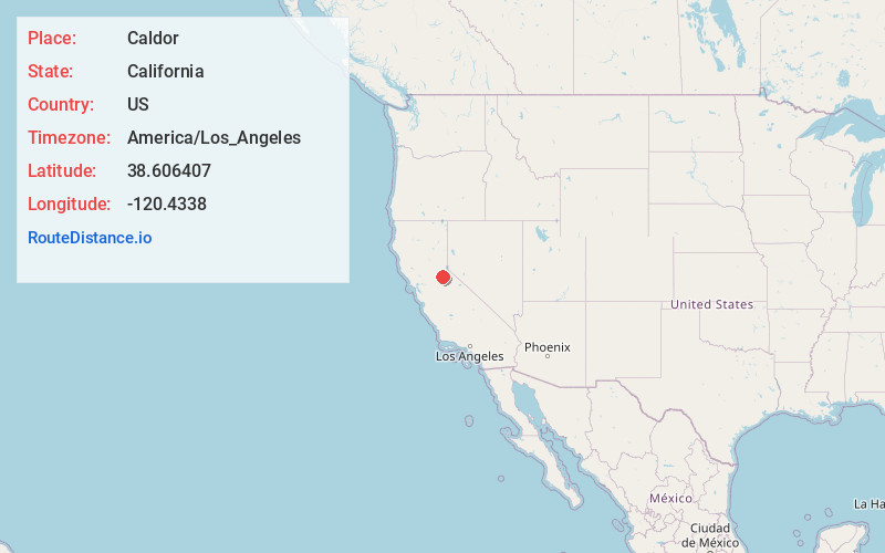
Full AddressCaldor, CA 95636
-
Coordinates38.606407, -120.4338
-
LocationCaldor , California , US
-
TimezoneAmerica/Los_Angeles
-
Current Local Time10:59:19 PM America/Los_AngelesThursday, June 19, 2025
-
Page Views0
About Caldor
Caldor was a company town in El Dorado County, California. Caldor was linked to Diamond Springs by the Diamond and Caldor Railway. The community was named for the California Door Company, which owned and operated the town.


Nearby Places
Found 10 places within 50 miles

Croft
1.7 mi
2.7 km
Croft, CA 95684
Get directions
Gilberts
3.8 mi
6.1 km
Gilberts, CA 95636
Get directions
Voss
4.3 mi
6.9 km
Voss, CA 95636
Get directions

Grizzly Flats
5.5 mi
8.9 km
Grizzly Flats, CA
Get directions
Meiss
5.8 mi
9.3 km
Meiss, CA 95636
Get directions
Omo Ranch
7.7 mi
12.4 km
Omo Ranch, CA 95684
Get directions
Yellowjacket Mine
9.0 mi
14.5 km
Yellowjacket Mine, California 95684
Get directions
Morrison
9.3 mi
15.0 km
Morrison, CA
Get directions

Riverton
11.4 mi
18.3 km
Riverton, CA 95726
Get directions
Pacific
11.4 mi
18.3 km
Pacific, CA 95726
Get directions
Location Links
Local Weather
Weather Information
Coming soon!
Location Map
Static map view of Caldor, California
Browse Places by Distance
Places within specific distances from Caldor
Short Distances
Long Distances
Click any distance to see all places within that range from Caldor. Distances shown in miles (1 mile ≈ 1.61 kilometers).