Distance to Omo Ranch, California

Calculating Your Route
Just a moment while we process your request...
Location Information
-
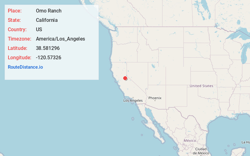
Full AddressOmo Ranch, CA 95684
-
Coordinates38.5812956, -120.5732603
-
LocationOmo Ranch , California , US
-
TimezoneAmerica/Los_Angeles
-
Current Local Time6:10:03 AM America/Los_AngelesSunday, June 22, 2025
-
Page Views0
About Omo Ranch
Omo Ranch is an unincorporated community in El Dorado County, California. It is located 12.5 miles south-southeast of Camino, at an elevation of 3612 feet.
Omo Ranch was once a logging town with a sawmill; the mill closed in 1973. Today, Omo Ranch is a rural residential area with few county services.
Nearby Places
Found 10 places within 50 miles

Yellowjacket Mine
2.4 mi
3.9 km
Yellowjacket Mine, California 95684
Get directions

Grizzly Flats
4.5 mi
7.2 km
Grizzly Flats, CA
Get directions
Fair Play
4.8 mi
7.7 km
Fair Play, CA 95684
Get directions
Gilberts
5.8 mi
9.3 km
Gilberts, CA 95636
Get directions
Coyoteville
6.5 mi
10.5 km
Coyoteville, CA 95684
Get directions
Croft
7.5 mi
12.1 km
Croft, CA 95684
Get directions

Somerset
7.6 mi
12.2 km
Somerset, CA 95684
Get directions

Pleasant Valley
8.5 mi
13.7 km
Pleasant Valley, CA 95667
Get directions
Buckhorn
9.2 mi
14.8 km
Buckhorn, CA 95666
Get directions

River Pines
9.5 mi
15.3 km
River Pines, CA
Get directions
Location Links
Local Weather
Weather Information
Coming soon!
Location Map
Static map view of Omo Ranch, California
Browse Places by Distance
Places within specific distances from Omo Ranch
Short Distances
Long Distances
Click any distance to see all places within that range from Omo Ranch. Distances shown in miles (1 mile ≈ 1.61 kilometers).