Distance to Pleasant Valley, California

Calculating Your Route
Just a moment while we process your request...
Location Information
-
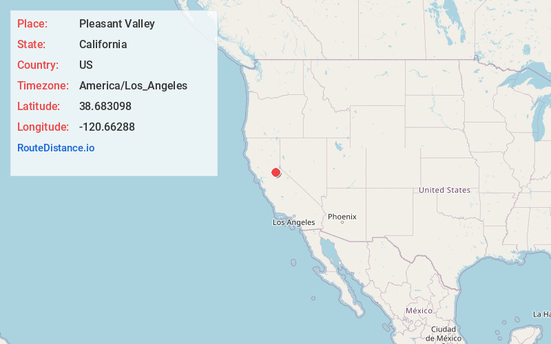
Full AddressPleasant Valley, CA 95667
-
Coordinates38.683098, -120.66288
-
LocationPleasant Valley , California , US
-
TimezoneAmerica/Los_Angeles
-
Current Local Time6:09:30 PM America/Los_AngelesMonday, June 2, 2025
-
Page Views0
About Pleasant Valley
Pleasant Valley is an unincorporated community in El Dorado County, California. It is located 3.5 miles south of Camino, at an elevation of 2461 feet.
A post office operated at Pleasant Valley from 1864 to 1917.

Nearby Places
Found 10 places within 50 miles

Somerset
2.7 mi
4.3 km
Somerset, CA 95684
Get directions

Old Fort Jim
3.6 mi
5.8 km
Old Fort Jim, CA 95667
Get directions

Camino
3.8 mi
6.1 km
Camino, CA
Get directions
Fair Play
6.2 mi
10.0 km
Fair Play, CA 95684
Get directions
Smithflat
6.2 mi
10.0 km
Smithflat, CA 95667
Get directions

Pollock Pines
6.8 mi
10.9 km
Pollock Pines, CA
Get directions

Grizzly Flats
8.0 mi
12.9 km
Grizzly Flats, CA
Get directions

Placerville
8.0 mi
12.9 km
Placerville, CA 95667
Get directions

Diamond Springs
8.2 mi
13.2 km
Diamond Springs, CA
Get directions
Coyoteville
9.2 mi
14.8 km
Coyoteville, CA 95684
Get directions
Location Links
Local Weather
Weather Information
Coming soon!
Location Map
Static map view of Pleasant Valley, California
Browse Places by Distance
Places within specific distances from Pleasant Valley
Short Distances
Long Distances
Click any distance to see all places within that range from Pleasant Valley. Distances shown in miles (1 mile ≈ 1.61 kilometers).