Distance to Smithflat, California

Calculating Your Route
Just a moment while we process your request...
Location Information
-
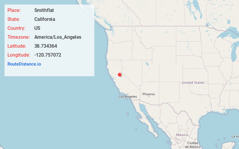
Full AddressSmithflat, CA 95667
-
Coordinates38.734364, -120.757072
-
LocationSmithflat , California , US
-
TimezoneAmerica/Los_Angeles
-
Current Local Time6:26:50 PM America/Los_AngelesMonday, June 23, 2025
-
Page Views0
About Smithflat
Smithflat is an unincorporated community in El Dorado County, California, United States. It lies 4 km east of Placerville and 7.2 km west of Camino at an elevation of 2224 feet.
The Smith's Flat post office opened in 1876 and was renamed to Smithflat in 1895.
Nearby Places
Found 10 places within 50 miles

Placerville
2.3 mi
3.7 km
Placerville, CA 95667
Get directions

Old Fort Jim
2.6 mi
4.2 km
Old Fort Jim, CA 95667
Get directions

Diamond Springs
4.2 mi
6.8 km
Diamond Springs, CA
Get directions

Camino
4.5 mi
7.2 km
Camino, CA
Get directions

Kelsey
5.6 mi
9.0 km
Kelsey, CA 95667
Get directions

Somerset
7.1 mi
11.4 km
Somerset, CA 95684
Get directions

Coloma
8.5 mi
13.7 km
Coloma, CA
Get directions
Deer View
9.0 mi
14.5 km
Deer View, CA 95667
Get directions

Pollock Pines
9.4 mi
15.1 km
Pollock Pines, CA
Get directions

Garden Valley
9.9 mi
15.9 km
Garden Valley, CA 95633
Get directions
Location Links
Local Weather
Weather Information
Coming soon!
Location Map
Static map view of Smithflat, California
Browse Places by Distance
Places within specific distances from Smithflat
Short Distances
Long Distances
Click any distance to see all places within that range from Smithflat. Distances shown in miles (1 mile ≈ 1.61 kilometers).