Distance to Placerville, California

Calculating Your Route
Just a moment while we process your request...
Location Information
-
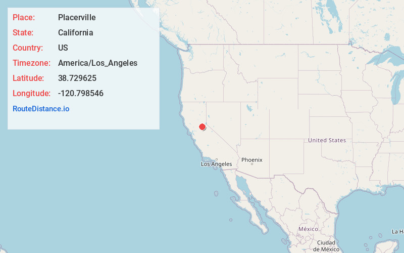
Full AddressPlacerville, CA 95667
-
Coordinates38.7296252, -120.798546
-
LocationPlacerville , California , US
-
TimezoneAmerica/Los_Angeles
-
Current Local Time4:04:06 PM America/Los_AngelesFriday, June 20, 2025
-
Website
-
Page Views0
About Placerville
Placerville is a city in and the county seat of El Dorado County, California, United States. The population was 10,747 as of the 2020 census, up from 10,389 as of the 2010 census. It is part of the Sacramento metropolitan area.


Nearby Places
Found 10 places within 50 miles

Diamond Springs
2.6 mi
4.2 km
Diamond Springs, CA
Get directions

Cameron Park
11.0 mi
17.7 km
Cameron Park, CA
Get directions

Auburn
18.9 mi
30.4 km
Auburn, CA
Get directions

Folsom
20.0 mi
32.2 km
Folsom, CA
Get directions

North Auburn
20.7 mi
33.3 km
North Auburn, CA
Get directions

Orangevale
23.3 mi
37.5 km
Orangevale, CA
Get directions

Rocklin
23.9 mi
38.5 km
Rocklin, CA
Get directions

Roseville
26.2 mi
42.2 km
Roseville, CA
Get directions

Fair Oaks
26.2 mi
42.2 km
Fair Oaks, CA
Get directions

Citrus Heights
26.9 mi
43.3 km
Citrus Heights, CA
Get directions
Location Links
Local Weather
Weather Information
Coming soon!
Location Map
Static map view of Placerville, California
Browse Places by Distance
Places within specific distances from Placerville
Short Distances
Long Distances
Click any distance to see all places within that range from Placerville. Distances shown in miles (1 mile ≈ 1.61 kilometers).