Distance to Camino, California

Calculating Your Route
Just a moment while we process your request...
Location Information
-
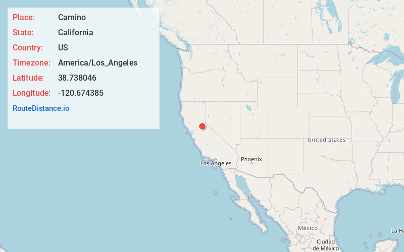
Full AddressCamino, CA
-
Coordinates38.738046, -120.6743853
-
LocationCamino , California , US
-
TimezoneAmerica/Los_Angeles
-
Current Local Time7:50:50 PM America/Los_AngelesFriday, June 6, 2025
-
Page Views0
About Camino
Camino is a census-designated place in El Dorado County, California, and, per the 2010 census, has a population of 1,750. According to the USGS, it lies at an elevation of 3133 feet, but the elevation actually ranges between 3,000 and 3,500 feet.


Nearby Places
Found 10 places within 50 miles

Pollock Pines
5.0 mi
8.0 km
Pollock Pines, CA
Get directions

Placerville
6.7 mi
10.8 km
Placerville, CA 95667
Get directions

Diamond Springs
8.1 mi
13.0 km
Diamond Springs, CA
Get directions

Georgetown
14.6 mi
23.5 km
Georgetown, CA
Get directions

Shingle Springs
14.9 mi
24.0 km
Shingle Springs, CA 95682
Get directions

Cameron Park
17.5 mi
28.2 km
Cameron Park, CA
Get directions

Auburn Lake Trails
20.5 mi
33.0 km
Auburn Lake Trails, CA 95614
Get directions

Buckhorn
21.3 mi
34.3 km
Buckhorn, CA 95666
Get directions

Pine Grove
22.5 mi
36.2 km
Pine Grove, CA
Get directions

Auburn
24.3 mi
39.1 km
Auburn, CA
Get directions
Location Links
Local Weather
Weather Information
Coming soon!
Location Map
Static map view of Camino, California
Browse Places by Distance
Places within specific distances from Camino
Short Distances
Long Distances
Click any distance to see all places within that range from Camino. Distances shown in miles (1 mile ≈ 1.61 kilometers).