Distance to Pine Grove, California

Calculating Your Route
Just a moment while we process your request...
Location Information
-
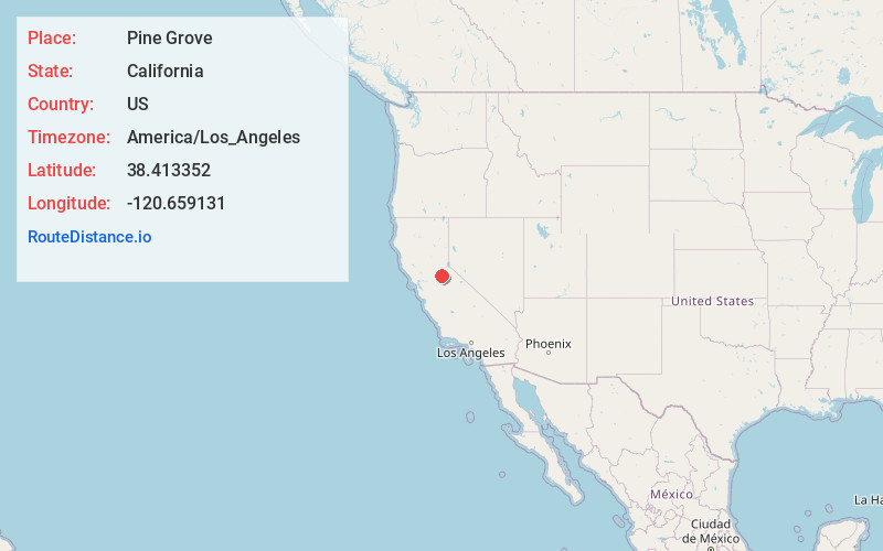
Full AddressPine Grove, CA
-
Coordinates38.4133517, -120.6591314
-
LocationPine Grove , California , US
-
TimezoneAmerica/Los_Angeles
-
Current Local Time3:56:02 AM America/Los_AngelesSaturday, June 21, 2025
-
Page Views0
About Pine Grove
Pine Grove is a census-designated place in Amador County, California. It lies at an elevation of 2513 feet. The population was 2,891 at the 2020 census.
The current boundaries of Pine Grove include the former mining towns of Clinton and Irishtown. The town also is home to Indian Grinding Rock State Historic Park.


Nearby Places
Found 10 places within 50 miles

Jackson
7.7 mi
12.4 km
Jackson, CA 95642
Get directions

Ione
15.4 mi
24.8 km
Ione, CA
Get directions

Valley Springs
17.9 mi
28.8 km
Valley Springs, CA 95252
Get directions

Diamond Springs
21.2 mi
34.1 km
Diamond Springs, CA
Get directions

Rancho Calaveras
22.6 mi
36.4 km
Rancho Calaveras, CA 95252
Get directions

Placerville
23.1 mi
37.2 km
Placerville, CA 95667
Get directions

Shingle Springs
23.2 mi
37.3 km
Shingle Springs, CA 95682
Get directions

Rancho Murieta
24.3 mi
39.1 km
Rancho Murieta, CA 95683
Get directions

Pollock Pines
24.4 mi
39.3 km
Pollock Pines, CA
Get directions

Angels Camp
24.8 mi
39.9 km
Angels Camp, CA 95222
Get directions
Location Links
Local Weather
Weather Information
Coming soon!
Location Map
Static map view of Pine Grove, California
Browse Places by Distance
Places within specific distances from Pine Grove
Short Distances
Long Distances
Click any distance to see all places within that range from Pine Grove. Distances shown in miles (1 mile ≈ 1.61 kilometers).