Distance to Georgetown, California

Calculating Your Route
Just a moment while we process your request...
Location Information
-
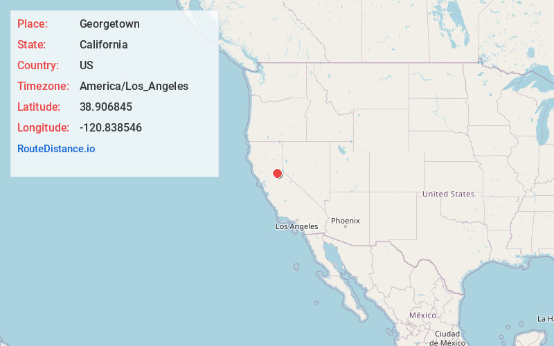
Full AddressGeorgetown, CA
-
Coordinates38.9068445, -120.8385462
-
LocationGeorgetown , California , US
-
TimezoneAmerica/Los_Angeles
-
Current Local Time7:27:02 AM America/Los_AngelesSaturday, June 21, 2025
-
Page Views0
About Georgetown
Georgetown is a census-designated place in El Dorado County, California, United States. It is the northeasternmost town in the California Mother Lode. The population was 2,546 in the 2020 census, up from 2,367 in 2010, and 962 in 2000. The town is registered as California Historical Landmark #484.


Nearby Places
Found 10 places within 50 miles

Auburn Lake Trails
8.8 mi
14.2 km
Auburn Lake Trails, CA 95614
Get directions

Meadow Vista
11.8 mi
19.0 km
Meadow Vista, CA
Get directions

Placerville
12.4 mi
20.0 km
Placerville, CA 95667
Get directions

Auburn
12.8 mi
20.6 km
Auburn, CA
Get directions

North Auburn
13.4 mi
21.6 km
North Auburn, CA
Get directions

Diamond Springs
14.7 mi
23.7 km
Diamond Springs, CA
Get directions

Pollock Pines
16.9 mi
27.2 km
Pollock Pines, CA
Get directions

Shingle Springs
17.2 mi
27.7 km
Shingle Springs, CA 95682
Get directions

Cameron Park
18.3 mi
29.5 km
Cameron Park, CA
Get directions

Alta Sierra
19.9 mi
32.0 km
Alta Sierra, CA 95949
Get directions
Location Links
Local Weather
Weather Information
Coming soon!
Location Map
Static map view of Georgetown, California
Browse Places by Distance
Places within specific distances from Georgetown
Short Distances
Long Distances
Click any distance to see all places within that range from Georgetown. Distances shown in miles (1 mile ≈ 1.61 kilometers).