Distance to Calflax, California

Calculating Your Route
Just a moment while we process your request...
Location Information
-
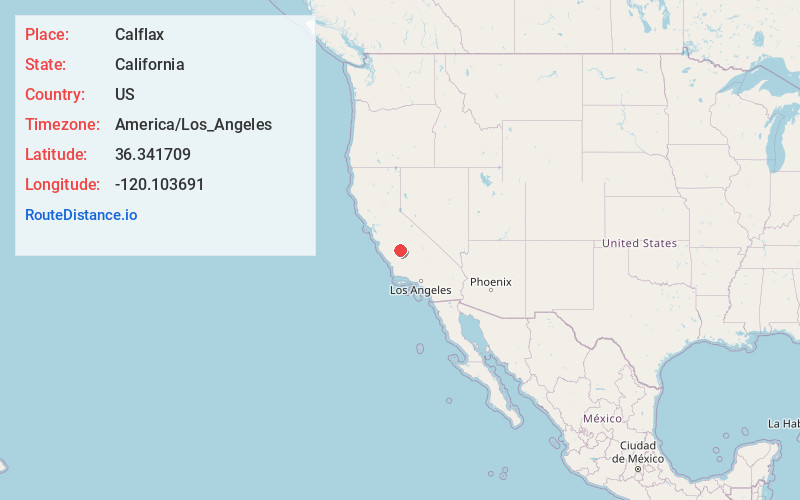
Full AddressCalflax, CA 93624
-
Coordinates36.341709, -120.103691
-
LocationCalflax , California , US
-
TimezoneAmerica/Los_Angeles
-
Current Local Time8:06:02 PM America/Los_AngelesWednesday, July 2, 2025
-
Page Views0
About Calflax
Calflax is an unincorporated community in Fresno County, California. It is located 20 miles northeast of Coalinga, at an elevation of 276 feet.
Calflax was established in the mid-1930s when irrigated flax and cotton fields were planted in the once-barren west San Joaquin Valley.
Nearby Places
Found 10 places within 50 miles

Five Points
6.1 mi
9.8 km
Five Points, CA 93624
Get directions

Huron
9.6 mi
15.4 km
Huron, CA 93234
Get directions

Vanguard
10.0 mi
16.1 km
Vanguard, CA
Get directions

Lanare
11.4 mi
18.3 km
Lanare, CA 93656
Get directions
Schilling
11.6 mi
18.7 km
Schilling, CA 93656
Get directions
Burrel
12.1 mi
19.5 km
Burrel, CA 93656
Get directions

Lemoore Station
12.2 mi
19.6 km
Lemoore Station, CA
Get directions
Turk
13.5 mi
21.7 km
Turk, CA 93210
Get directions

Riverdale
14.9 mi
24.0 km
Riverdale, CA 93656
Get directions

Cantua Creek
16.2 mi
26.1 km
Cantua Creek, CA 93608
Get directions
Location Links
Local Weather
Weather Information
Coming soon!
Location Map
Static map view of Calflax, California
Browse Places by Distance
Places within specific distances from Calflax
Short Distances
Long Distances
Click any distance to see all places within that range from Calflax. Distances shown in miles (1 mile ≈ 1.61 kilometers).