Distance to Calhoun County, Alabama

Calculating Your Route
Just a moment while we process your request...
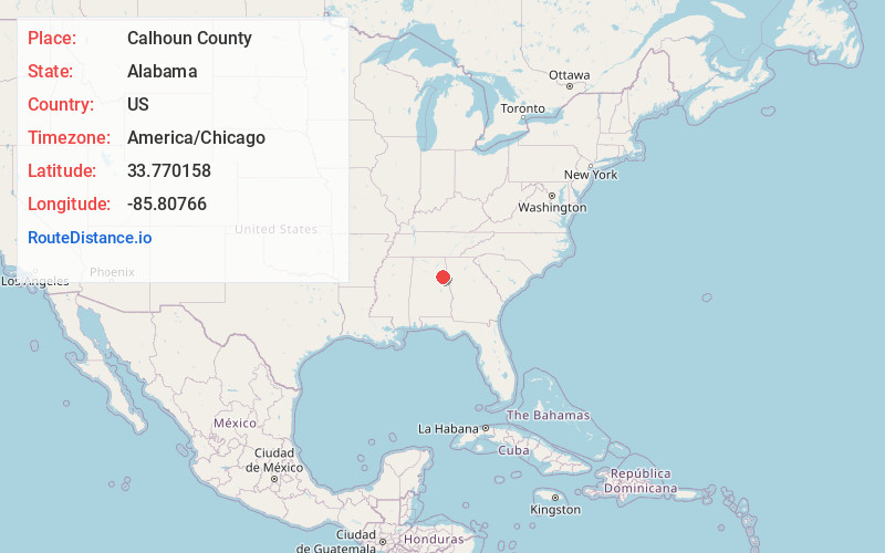
Location Information
-
Full AddressCalhoun County, AL
-
Coordinates33.7701576, -85.80766
-
LocationAlabama , US
-
TimezoneAmerica/Chicago
-
Current Local Time9:42:19 PM America/ChicagoWednesday, June 18, 2025
-
Page Views0
About Calhoun County
Calhoun County is a county in the east central part of the U.S. state of Alabama. As of the 2020 census, the population was 116,441. Its county seat is Anniston. It is named in honor of John C. Calhoun, a US Senator from South Carolina.
Calhoun County comprises the Anniston-Oxford Metropolitan Statistical Area.


Nearby Places
Found 10 places within 50 miles

Weaver
1.3 mi
2.1 km
Weaver, AL
Get directions

Sherman Heights
2.6 mi
4.2 km
Sherman Heights, Anniston, AL 36206
Get directions
Bonny Brook
2.8 mi
4.5 km
Bonny Brook, Jacksonville, AL 36265
Get directions

Cedar Springs
3.8 mi
6.1 km
Cedar Springs, AL 36265
Get directions

Jacksonville
4.0 mi
6.4 km
Jacksonville, AL 36265
Get directions
Alexandria
4.5 mi
7.2 km
Alexandria, AL
Get directions
Angel
4.8 mi
7.7 km
Angel, AL 36265
Get directions
Bush
4.9 mi
7.9 km
Bush, Saks, AL 36206
Get directions

Saks
5.3 mi
8.5 km
Saks, AL
Get directions
Leatherwood
5.4 mi
8.7 km
Leatherwood, AL 36206
Get directions
Location Links
Local Weather
Weather Information
Coming soon!
Location Map
Static map view of Calhoun County, Alabama
Browse Places by Distance
Places within specific distances from Calhoun County
Short Distances
Long Distances
Click any distance to see all places within that range from Calhoun County. Distances shown in miles (1 mile ≈ 1.61 kilometers).