Distance to Calhoun, Oklahoma

Calculating Your Route
Just a moment while we process your request...
Location Information
-
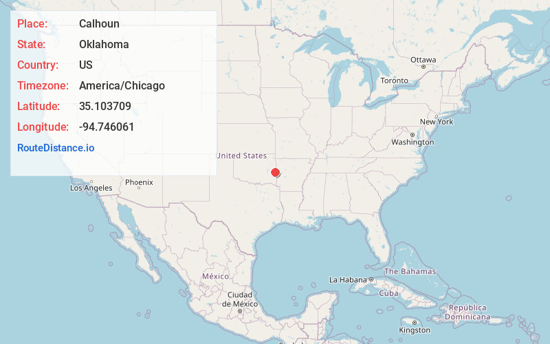
Full AddressCalhoun, OK 74956
-
Coordinates35.1037089, -94.7460605
-
LocationOklahoma , US
-
TimezoneAmerica/Chicago
-
Current Local Time12:13:26 AM America/ChicagoFriday, June 20, 2025
-
Page Views0
Nearby Places
Found 10 places within 50 miles

Latham
3.6 mi
5.8 km
Latham, OK 74956
Get directions
Bedwell
4.2 mi
6.8 km
Bedwell, OK 74930
Get directions

Cavanal Hill
4.4 mi
7.1 km
Cavanal Hill, Oklahoma 74953
Get directions

Shady Point
5.3 mi
8.5 km
Shady Point, OK 74956
Get directions
Panama
6.1 mi
9.8 km
Panama, OK
Get directions

Bokoshe
6.1 mi
9.8 km
Bokoshe, OK 74930
Get directions
Kennady
6.2 mi
10.0 km
Kennady, Fanshawe, OK 74966
Get directions
Bordeaux
7.2 mi
11.6 km
Bordeaux, OK 74930
Get directions
Sorrels
7.6 mi
12.2 km
Sorrels, OK 74953
Get directions

Poteau
7.7 mi
12.4 km
Poteau, OK
Get directions
Location Links
Local Weather
Weather Information
Coming soon!
Location Map
Static map view of Calhoun, Oklahoma
Browse Places by Distance
Places within specific distances from Calhoun
Short Distances
Long Distances
Click any distance to see all places within that range from Calhoun. Distances shown in miles (1 mile ≈ 1.61 kilometers).