Distance to Callapoose, Pennsylvania

Calculating Your Route
Just a moment while we process your request...
Location Information
-
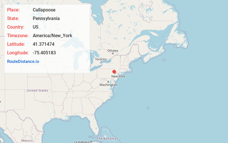
Full AddressCallapoose, Sterling Township, PA 18444
-
Coordinates41.3714743, -75.4051826
-
LocationSterling Township , Pennsylvania , US
-
TimezoneAmerica/New_York
-
Current Local Time6:45:53 PM America/New_YorkFriday, June 20, 2025
-
Page Views0
Nearby Places
Found 10 places within 50 miles

Bidwell Hill
1.6 mi
2.6 km
Bidwell Hill, Salem Township, PA 18436
Get directions

Hollisterville
2.2 mi
3.5 km
Hollisterville, Salem Township, PA 18444
Get directions
Sterling
2.2 mi
3.5 km
Sterling, PA 18445
Get directions

Hamlin
2.3 mi
3.7 km
Hamlin, PA 18436
Get directions
Drinker
3.5 mi
5.6 km
Drinker, Jefferson Township, PA 18444
Get directions
Jericho
3.7 mi
6.0 km
Jericho, Sterling Township, PA 18424
Get directions
Ledgedale
4.0 mi
6.4 km
Ledgedale, Indian Rocks, PA 18436
Get directions
Maplewood
4.5 mi
7.2 km
Maplewood, Lake Township, PA 18436
Get directions
Saco
4.5 mi
7.2 km
Saco, Mt Cobb, PA 18436
Get directions

The Hideout
5.3 mi
8.5 km
The Hideout, PA 18436
Get directions
Location Links
Local Weather
Weather Information
Coming soon!
Location Map
Static map view of Callapoose, Pennsylvania
Browse Places by Distance
Places within specific distances from Callapoose
Short Distances
Long Distances
Click any distance to see all places within that range from Callapoose. Distances shown in miles (1 mile ≈ 1.61 kilometers).