Distance to Calpella, California

Calculating Your Route
Just a moment while we process your request...
Location Information
-
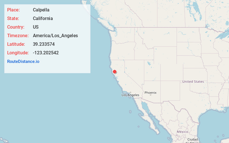
Full AddressCalpella, CA
-
Coordinates39.233574, -123.202542
-
LocationCalpella , California , US
-
TimezoneAmerica/Los_Angeles
-
Current Local Time9:21:42 PM America/Los_AngelesSunday, June 22, 2025
-
Page Views0
About Calpella
Calpella is an unincorporated community and census-designated place in Mendocino County, California, United States. It is located on the Russian River, 6 miles north of Ukiah. It is situated within the Ukiah Valley, at the intersection of U.S. Route 101 and State Route 20.


Nearby Places
Found 10 places within 50 miles

Redwood Valley
2.2 mi
3.5 km
Redwood Valley, CA 95470
Get directions

Talmage
7.2 mi
11.6 km
Talmage, CA 95482
Get directions

Pine Mountain Lookout
13.4 mi
21.6 km
Pine Mountain Lookout, California 95469
Get directions

Willits
14.7 mi
23.7 km
Willits, CA 95490
Get directions

Upper Lake
16.3 mi
26.2 km
Upper Lake, CA 95485
Get directions

Boonville
17.9 mi
28.8 km
Boonville, CA
Get directions

Brooktrails
18.0 mi
29.0 km
Brooktrails, CA 95490
Get directions

Hopland
18.8 mi
30.3 km
Hopland, CA 95449
Get directions

North Lakeport
18.9 mi
30.4 km
North Lakeport, CA 95453
Get directions

Lakeport
20.2 mi
32.5 km
Lakeport, CA 95453
Get directions
Location Links
Local Weather
Weather Information
Coming soon!
Location Map
Static map view of Calpella, California
Browse Places by Distance
Places within specific distances from Calpella
Short Distances
Long Distances
Click any distance to see all places within that range from Calpella. Distances shown in miles (1 mile ≈ 1.61 kilometers).