Distance to Calvary, Wisconsin

Calculating Your Route
Just a moment while we process your request...
Location Information
-
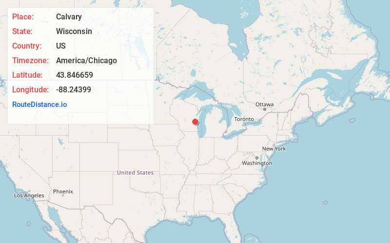
Full AddressCalvary, Marshfield, WI 53079
-
Coordinates43.8466587, -88.2439902
-
LocationMarshfield , Wisconsin , US
-
TimezoneAmerica/Chicago
-
Current Local Time2:04:04 PM America/ChicagoWednesday, May 28, 2025
-
Page Views0
About Calvary
Calvary, Wisconsin is an unincorporated community located in the town of Marshfield, in Fond du Lac County, Wisconsin. The community was originally known locally as Calvary Station since the community was built around the railroad depot for Mount Calvary.
Nearby Places
Found 10 places within 50 miles

Mt Calvary
1.4 mi
2.3 km
Mt Calvary, WI 53057
Get directions

Malone
2.1 mi
3.4 km
Malone, WI 53049
Get directions
St Cloud
4.2 mi
6.8 km
St Cloud, WI 53079
Get directions
Silica
4.9 mi
7.9 km
Silica, WI 53049
Get directions
St Peter
4.9 mi
7.9 km
St Peter, St. Peter, WI 53049
Get directions
Banner
5.4 mi
8.7 km
Banner, Forest, WI 53057
Get directions

Pipe
5.8 mi
9.3 km
Pipe, WI 53049
Get directions
Laudolff Beach
6.0 mi
9.7 km
Laudolff Beach, Calumet, WI 54937
Get directions
Highland Park
6.1 mi
9.8 km
Highland Park, Calumet, WI 54937
Get directions
Welling Beach
6.2 mi
10.0 km
Welling Beach, Taycheedah, WI 54937
Get directions
Location Links
Local Weather
Weather Information
Coming soon!
Location Map
Static map view of Calvary, Wisconsin
Browse Places by Distance
Places within specific distances from Calvary
Short Distances
Long Distances
Click any distance to see all places within that range from Calvary. Distances shown in miles (1 mile ≈ 1.61 kilometers).