Distance to Camdenton, Missouri

Calculating Your Route
Just a moment while we process your request...
Location Information
-
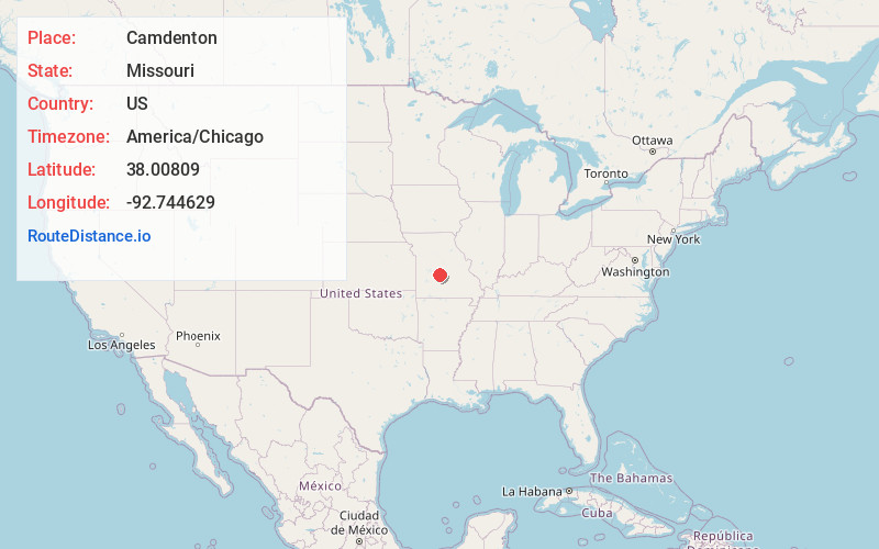
Full AddressCamdenton, MO 65020
-
Coordinates38.0080902, -92.7446289
-
LocationCamdenton , Missouri , US
-
TimezoneAmerica/Chicago
-
Current Local Time10:53:29 AM America/ChicagoFriday, June 20, 2025
-
Page Views0
About Camdenton
Camdenton is a city in and the county seat of Camden County, Missouri, United States. Its population was 3,718 at the 2010 census. The city is enveloped by the Lower Niangua arm of the Lake of the Ozarks, and serves as a popular trade point for visitors to the area.


Nearby Places
Found 9 places within 50 miles

Osage Beach
12.0 mi
19.3 km
Osage Beach, MO
Get directions

Lebanon
23.1 mi
37.2 km
Lebanon, MO 65536
Get directions

Eldon
25.1 mi
40.4 km
Eldon, MO 65026
Get directions

Waynesville
32.1 mi
51.7 km
Waynesville, MO 65583
Get directions

St Robert
33.3 mi
53.6 km
St Robert, MO
Get directions

Fort Leonard Wood
37.2 mi
59.9 km
Fort Leonard Wood, MO
Get directions

California
43.9 mi
70.7 km
California, MO 65018
Get directions

Bolivar
45.4 mi
73.1 km
Bolivar, MO 65613
Get directions

Marshfield
47.7 mi
76.8 km
Marshfield, MO 65706
Get directions
Location Links
Local Weather
Weather Information
Coming soon!
Location Map
Static map view of Camdenton, Missouri
Browse Places by Distance
Places within specific distances from Camdenton
Short Distances
Long Distances
Click any distance to see all places within that range from Camdenton. Distances shown in miles (1 mile ≈ 1.61 kilometers).