Distance to Camelot, Alabama

Calculating Your Route
Just a moment while we process your request...
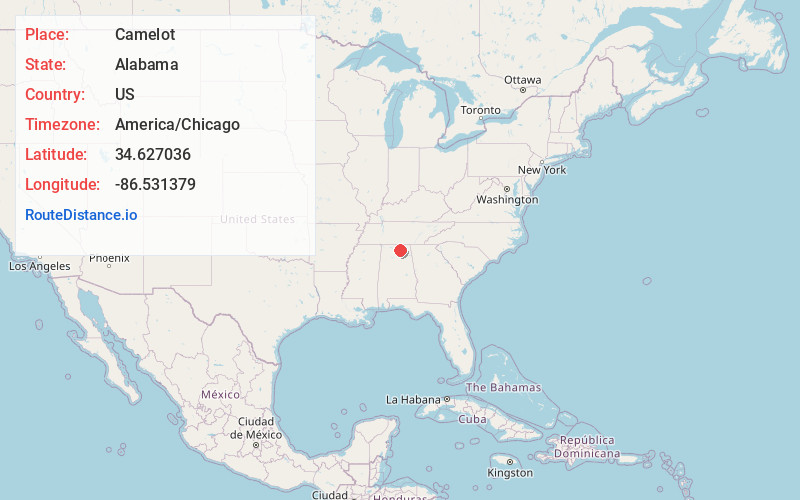
Location Information
-
Full AddressCamelot, Huntsville, AL 35803
-
Coordinates34.6270356, -86.5313791
-
LocationHuntsville , Alabama , US
-
TimezoneAmerica/Chicago
-
Current Local Time11:40:43 PM America/ChicagoSaturday, June 21, 2025
-
Page Views0
Nearby Places
Found 10 places within 50 miles

Bailey Cove Estates
2.7 mi
4.3 km
Bailey Cove Estates, Huntsville, AL 35802
Get directions
Farley
2.8 mi
4.5 km
Farley, Huntsville, AL 35803
Get directions
Fleming Hills
3.8 mi
6.1 km
Fleming Hills, Huntsville, AL 35802
Get directions
Burrows
4.1 mi
6.6 km
Burrows, AL 35803
Get directions

Owens Cross Roads
4.9 mi
7.9 km
Owens Cross Roads, AL
Get directions
Cherrytree
5.1 mi
8.2 km
Cherrytree, Huntsville, AL 35748
Get directions
Berkley
5.9 mi
9.5 km
Berkley, AL 35748
Get directions
Hobbs Island
6.2 mi
10.0 km
Hobbs Island, AL 35803
Get directions
Elon
6.8 mi
10.9 km
Elon, AL 35803
Get directions

Huntsville
7.7 mi
12.4 km
Huntsville, AL
Get directions
Location Links
Local Weather
Weather Information
Coming soon!
Location Map
Static map view of Camelot, Alabama
Browse Places by Distance
Places within specific distances from Camelot
Short Distances
Long Distances
Click any distance to see all places within that range from Camelot. Distances shown in miles (1 mile ≈ 1.61 kilometers).