Distance to Cherrytree, Alabama

Calculating Your Route
Just a moment while we process your request...
Location Information
-
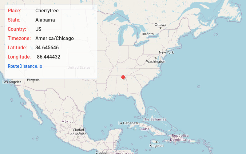
Full AddressCherrytree, Huntsville, AL 35748
-
Coordinates34.6456457, -86.4444323
-
LocationHuntsville , Alabama , US
-
TimezoneAmerica/Chicago
-
Current Local Time7:08:28 AM America/ChicagoFriday, June 20, 2025
-
Page Views0
Nearby Places
Found 10 places within 50 miles

Berkley
1.0 mi
1.6 km
Berkley, AL 35748
Get directions

Owens Cross Roads
4.1 mi
6.6 km
Owens Cross Roads, AL
Get directions

Gurley
5.5 mi
8.9 km
Gurley, AL
Get directions
Bailey Cove Estates
5.8 mi
9.3 km
Bailey Cove Estates, Huntsville, AL 35802
Get directions
Poplar Ridge
6.1 mi
9.8 km
Poplar Ridge, AL 35760
Get directions

Paint Rock
6.6 mi
10.6 km
Paint Rock, AL
Get directions
Cedar Point
6.7 mi
10.8 km
Cedar Point, AL 35760
Get directions

Brownsboro
7.2 mi
11.6 km
Brownsboro, AL
Get directions
Elon
7.2 mi
11.6 km
Elon, AL 35803
Get directions
Farley
7.5 mi
12.1 km
Farley, Huntsville, AL 35803
Get directions
Location Links
Local Weather
Weather Information
Coming soon!
Location Map
Static map view of Cherrytree, Alabama
Browse Places by Distance
Places within specific distances from Cherrytree
Short Distances
Long Distances
Click any distance to see all places within that range from Cherrytree. Distances shown in miles (1 mile ≈ 1.61 kilometers).