Distance to Gurley, Alabama

Calculating Your Route
Just a moment while we process your request...
Location Information
-
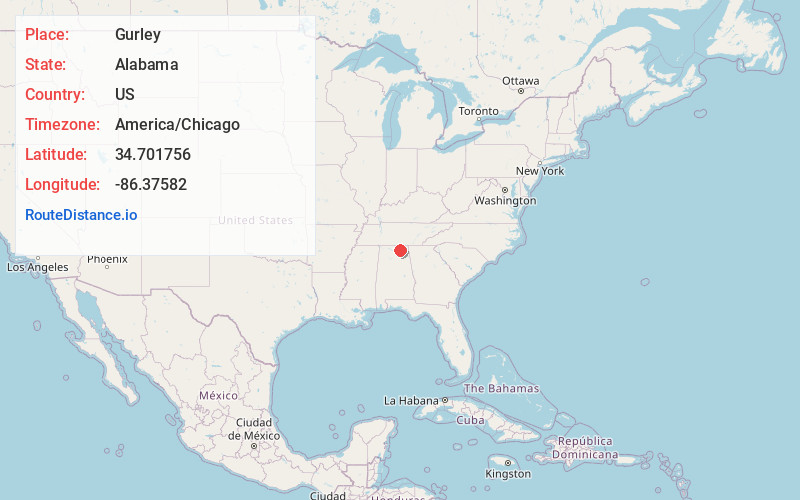
Full AddressGurley, AL
-
Coordinates34.7017558, -86.3758201
-
LocationGurley , Alabama , US
-
TimezoneAmerica/Chicago
-
Current Local Time5:01:39 AM America/ChicagoThursday, June 19, 2025
-
Page Views0
About Gurley
Gurley is a town in Madison County, Alabama, United States, and is included in the Huntsville-Decatur Combined Statistical Area. As of the 2020 census, the population of the town was 816.


Nearby Places
Found 10 places within 50 miles

Woodville
7.9 mi
12.7 km
Woodville, AL 35776
Get directions

Owens Cross Roads
9.2 mi
14.8 km
Owens Cross Roads, AL
Get directions

New Hope
11.4 mi
18.3 km
New Hope, AL 35760
Get directions

Huntsville
12.1 mi
19.5 km
Huntsville, AL
Get directions

Moores Mill
12.7 mi
20.4 km
Moores Mill, AL
Get directions

Grant
13.8 mi
22.2 km
Grant, AL 35747
Get directions

New Market
14.7 mi
23.7 km
New Market, AL 35761
Get directions

Redstone Arsenal
15.6 mi
25.1 km
Redstone Arsenal, AL
Get directions

Skyline
16.7 mi
26.9 km
Skyline, AL
Get directions

Hazel Green
19.4 mi
31.2 km
Hazel Green, AL
Get directions
Location Links
Local Weather
Weather Information
Coming soon!
Location Map
Static map view of Gurley, Alabama
Browse Places by Distance
Places within specific distances from Gurley
Short Distances
Long Distances
Click any distance to see all places within that range from Gurley. Distances shown in miles (1 mile ≈ 1.61 kilometers).