Distance to Skyline, Alabama

Calculating Your Route
Just a moment while we process your request...
Location Information
-
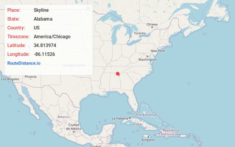
Full AddressSkyline, AL
-
Coordinates34.8139739, -86.1152603
-
LocationSkyline , Alabama , US
-
TimezoneAmerica/Chicago
-
Current Local Time8:49:27 AM America/ChicagoThursday, June 19, 2025
-
Page Views0
About Skyline
Skyline is a town in Jackson County, Alabama, United States. The town incorporated in 1985. As of the 2010 census, the population of the town was 851, up from 843 in 2000.


Nearby Places
Found 10 places within 50 miles

Scottsboro
10.8 mi
17.4 km
Scottsboro, AL
Get directions

Stevenson
16.1 mi
25.9 km
Stevenson, AL
Get directions

Huntland
18.6 mi
29.9 km
Huntland, TN 37345
Get directions

New Market
18.9 mi
30.4 km
New Market, AL 35761
Get directions

Grant
21.2 mi
34.1 km
Grant, AL 35747
Get directions

Moores Mill
23.0 mi
37.0 km
Moores Mill, AL
Get directions

Henagar
23.3 mi
37.5 km
Henagar, AL
Get directions

Sylvania
24.5 mi
39.4 km
Sylvania, AL
Get directions

Bridgeport
24.5 mi
39.4 km
Bridgeport, AL 35740
Get directions

New Hope
24.9 mi
40.1 km
New Hope, AL 35760
Get directions
Location Links
Local Weather
Weather Information
Coming soon!
Location Map
Static map view of Skyline, Alabama
Browse Places by Distance
Places within specific distances from Skyline
Short Distances
Long Distances
Click any distance to see all places within that range from Skyline. Distances shown in miles (1 mile ≈ 1.61 kilometers).