Distance to Stevenson, Alabama

Calculating Your Route
Just a moment while we process your request...
Location Information
-
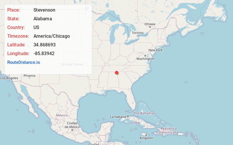
Full AddressStevenson, AL
-
Coordinates34.8686932, -85.8394199
-
LocationStevenson , Alabama , US
-
TimezoneAmerica/Chicago
-
Current Local Time11:51:48 AM America/ChicagoThursday, June 19, 2025
-
Page Views0
About Stevenson
Stevenson is a city in Jackson County, Alabama, United States, and is included in the Chattanooga-Cleveland-Dalton, TN-GA-AL Combined Statistical Area. Sources listed either 1866 or 1867 as the year of incorporation, but that seems to conflict with the dates given for the town being granted a charter.


Nearby Places
Found 10 places within 50 miles

Bridgeport
8.9 mi
14.3 km
Bridgeport, AL 35740
Get directions

South Pittsburg
12.5 mi
20.1 km
South Pittsburg, TN 37380
Get directions

Henagar
16.7 mi
26.9 km
Henagar, AL
Get directions

Scottsboro
17.5 mi
28.2 km
Scottsboro, AL
Get directions

Jasper
18.6 mi
29.9 km
Jasper, TN 37347
Get directions

Trenton
18.7 mi
30.1 km
Trenton, GA 30752
Get directions

Sewanee
23.6 mi
38.0 km
Sewanee, TN 37375
Get directions

Rainsville
25.9 mi
41.7 km
Rainsville, AL
Get directions

Winchester
26.8 mi
43.1 km
Winchester, TN 37398
Get directions

Decherd
27.2 mi
43.8 km
Decherd, TN
Get directions
Location Links
Local Weather
Weather Information
Coming soon!
Location Map
Static map view of Stevenson, Alabama
Browse Places by Distance
Places within specific distances from Stevenson
Short Distances
Long Distances
Click any distance to see all places within that range from Stevenson. Distances shown in miles (1 mile ≈ 1.61 kilometers).