Distance to Cameron, Nebraska

Calculating Your Route
Just a moment while we process your request...
Location Information
-
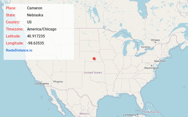
Full AddressCameron, NE 68883
-
Coordinates40.9172353, -98.63535
-
LocationCameron , Nebraska , US
-
TimezoneAmerica/Chicago
-
Current Local Time9:58:00 PM America/ChicagoFriday, June 13, 2025
-
Page Views0
Nearby Places
Found 10 places within 50 miles

Cairo
6.0 mi
9.7 km
Cairo, NE 68824
Get directions

Wood River
6.9 mi
11.1 km
Wood River, NE 68883
Get directions
Abbott
9.0 mi
14.5 km
Abbott, NE 68803
Get directions

Alda
9.3 mi
15.0 km
Alda, NE 68810
Get directions
St Michael
9.4 mi
15.1 km
St Michael, NE 68869
Get directions
Ovina
10.0 mi
16.1 km
Ovina, Prairie Creek Township, NE 68803
Get directions
Shelton
10.8 mi
17.4 km
Shelton, NE
Get directions
Boelus
11.6 mi
18.7 km
Boelus, NE 68820
Get directions

Dannebrog
14.7 mi
23.7 km
Dannebrog, NE 68831
Get directions

Grand Island
15.3 mi
24.6 km
Grand Island, NE
Get directions
Location Links
Local Weather
Weather Information
Coming soon!
Location Map
Static map view of Cameron, Nebraska
Browse Places by Distance
Places within specific distances from Cameron
Short Distances
Long Distances
Click any distance to see all places within that range from Cameron. Distances shown in miles (1 mile ≈ 1.61 kilometers).