Distance to Camp, Arkansas

Calculating Your Route
Just a moment while we process your request...
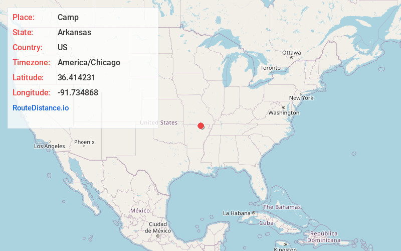
Location Information
-
Full AddressCamp, AR 72520
-
Coordinates36.4142312, -91.7348681
-
LocationCamp , Arkansas , US
-
TimezoneAmerica/Chicago
-
Current Local Time10:02:27 AM America/ChicagoSunday, June 29, 2025
-
Page Views0
About Camp
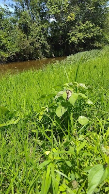
Camp is an unincorporated community in Fulton County, Arkansas, United States. Camp is located on Arkansas Highway 9, approximately six miles northeast of Salem. Camp Creek is a very
small creek at its deepest point is 3 1/2 feet that flows past the community.
Camp has a post office with ZIP code 72520.


Nearby Places
Found 10 places within 50 miles

French
4.4 mi
7.1 km
French, AR 72520
Get directions

Salem
5.7 mi
9.2 km
Salem, AR 72576
Get directions
Fryatt
5.8 mi
9.3 km
Fryatt, AR 72554
Get directions
Cornertown
6.0 mi
9.7 km
Cornertown, Myatt Township, MO 72554
Get directions
Heart
6.4 mi
10.3 km
Heart, AR 72539
Get directions
Saddle
6.7 mi
10.8 km
Saddle, AR 72554
Get directions

Moko
6.9 mi
11.1 km
Moko, AR 72576
Get directions
Lanton
8.0 mi
12.9 km
Lanton, Myatt Township, MO 65775
Get directions
Sturkie
8.2 mi
13.2 km
Sturkie, AR 72578
Get directions
Glencoe
8.3 mi
13.4 km
Glencoe, AR 72539
Get directions
Location Links
Local Weather
Weather Information
Coming soon!
Location Map
Static map view of Camp, Arkansas
Browse Places by Distance
Places within specific distances from Camp
Short Distances
Long Distances
Click any distance to see all places within that range from Camp. Distances shown in miles (1 mile ≈ 1.61 kilometers).