Distance to Camp Caravan, Massachusetts

Calculating Your Route
Just a moment while we process your request...
Location Information
-
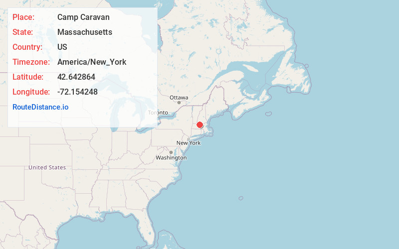
Full AddressCamp Caravan, Royalston, MA 01368
-
Coordinates42.6428642, -72.1542483
-
LocationRoyalston , Massachusetts , US
-
TimezoneAmerica/New_York
-
Current Local Time8:54:24 AM America/New_YorkFriday, May 23, 2025
-
Page Views0
Nearby Places
Found 10 places within 50 miles

Neale Place
1.3 mi
2.1 km
Neale Place, Royalston, MA 01368
Get directions
Parkers Station
2.1 mi
3.4 km
Parkers Station, Winchendon, MA 01368
Get directions

Royalston
2.8 mi
4.5 km
Royalston, MA
Get directions
Fryeville
3.7 mi
6.0 km
Fryeville, Athol, MA 01331
Get directions
Packard Heights
3.9 mi
6.3 km
Packard Heights, Orange, MA 01364
Get directions
Tully
4.8 mi
7.7 km
Tully, Orange, MA 01364
Get directions

Otter River
4.8 mi
7.7 km
Otter River, Massachusetts
Get directions

Athol
4.9 mi
7.9 km
Athol, MA
Get directions
Waterville
4.9 mi
7.9 km
Waterville, Winchendon, MA 01475
Get directions
Hydeville
5.0 mi
8.0 km
Hydeville, Winchendon, MA 01475
Get directions
Location Links
Local Weather
Weather Information
Coming soon!
Location Map
Static map view of Camp Caravan, Massachusetts
Browse Places by Distance
Places within specific distances from Camp Caravan
Short Distances
Long Distances
Click any distance to see all places within that range from Camp Caravan. Distances shown in miles (1 mile ≈ 1.61 kilometers).