Distance to and from Camp Cox, South Carolina
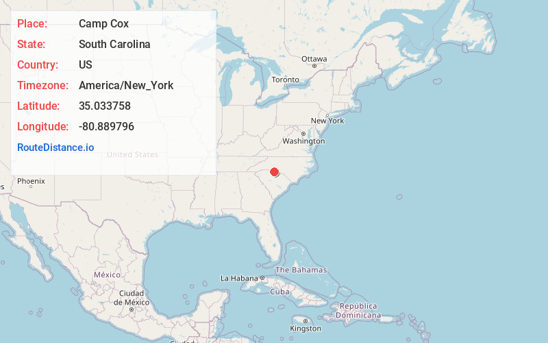
Camp Cox, SC 29707
South Carolina
US
America/New_York
Location Information
-
Full AddressCamp Cox, SC 29707
-
Coordinates35.0337583, -80.8897961
-
LocationSouth Carolina , US
-
TimezoneAmerica/New_York
-
Current Local Time10:57:40 AM America/New_YorkSaturday, May 3, 2025
-
Page Views0
Directions to Nearest Cities
Nearby Places
Found 10 places within 50 miles

Pineville
3.4 mi
5.5 km
Pineville, NC
Get directions

Forest Lake
3.6 mi
5.8 km
Forest Lake, SC 29715
Get directions

Fort Mill
3.6 mi
5.8 km
Fort Mill, SC
Get directions

Marvin
5.1 mi
8.2 km
Marvin, NC 28173
Get directions
Riverview
5.4 mi
8.7 km
Riverview, SC 29708
Get directions

Weddington
7.3 mi
11.7 km
Weddington, NC
Get directions

Tega Cay
7.8 mi
12.6 km
Tega Cay, SC 29708
Get directions
India Hook
8.5 mi
13.7 km
India Hook, SC 29732
Get directions

Lake Wylie
10.1 mi
16.3 km
Lake Wylie, SC
Get directions
Old Point Station
10.3 mi
16.6 km
Old Point Station, Rock Hill, SC 29732
Get directions
Pineville
3.4 mi
5.5 km
Pineville, NC
Forest Lake
3.6 mi
5.8 km
Forest Lake, SC 29715
Fort Mill
3.6 mi
5.8 km
Fort Mill, SC
Marvin
5.1 mi
8.2 km
Marvin, NC 28173
Riverview
5.4 mi
8.7 km
Riverview, SC 29708
Weddington
7.3 mi
11.7 km
Weddington, NC
Tega Cay
7.8 mi
12.6 km
Tega Cay, SC 29708
India Hook
8.5 mi
13.7 km
India Hook, SC 29732
Lake Wylie
10.1 mi
16.3 km
Lake Wylie, SC
Old Point Station
10.3 mi
16.6 km
Old Point Station, Rock Hill, SC 29732
Location Links
Local Weather
Weather Information
Coming soon!
Location Map
Static map view of Camp Cox, South Carolina
Browse Places by Distance
Places within specific distances from Camp Cox
Short Distances
Long Distances
Click any distance to see all places within that range from Camp Cox. Distances shown in miles (1 mile ≈ 1.61 kilometers).