Distance to Camp Creek, Arizona

Calculating Your Route
Just a moment while we process your request...
Location Information
-
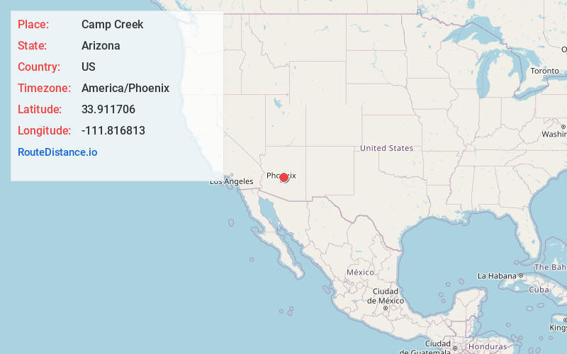
Full AddressCamp Creek, AZ 85331
-
Coordinates33.9117056, -111.816813
-
LocationArizona , US
-
TimezoneAmerica/Phoenix
-
Current Local Time8:16:30 AM America/PhoenixSaturday, June 14, 2025
-
Page Views0
Nearby Places
Found 10 places within 50 miles

Carefree
8.5 mi
13.7 km
Carefree, AZ
Get directions

Cave Creek
9.3 mi
15.0 km
Cave Creek, AZ
Get directions

Rio Verde
15.4 mi
24.8 km
Rio Verde, AZ 85263
Get directions

Verde River
16.7 mi
26.9 km
Verde River, Arizona
Get directions

Deer Valley Unified District
17.1 mi
27.5 km
Deer Valley Unified District, AZ
Get directions

New River
18.3 mi
29.5 km
New River, AZ
Get directions

Sunflower
20.3 mi
32.7 km
Sunflower, AZ 85263
Get directions

Fort McDowell
20.7 mi
33.3 km
Fort McDowell, AZ 85264
Get directions

Gillette
21.2 mi
34.1 km
Gillette, AZ 85324
Get directions

Black Canyon City
21.3 mi
34.3 km
Black Canyon City, AZ 85324
Get directions
Location Links
Local Weather
Weather Information
Coming soon!
Location Map
Static map view of Camp Creek, Arizona
Browse Places by Distance
Places within specific distances from Camp Creek
Short Distances
Long Distances
Click any distance to see all places within that range from Camp Creek. Distances shown in miles (1 mile ≈ 1.61 kilometers).