Distance to Sunflower, Arizona

Calculating Your Route
Just a moment while we process your request...
Location Information
-
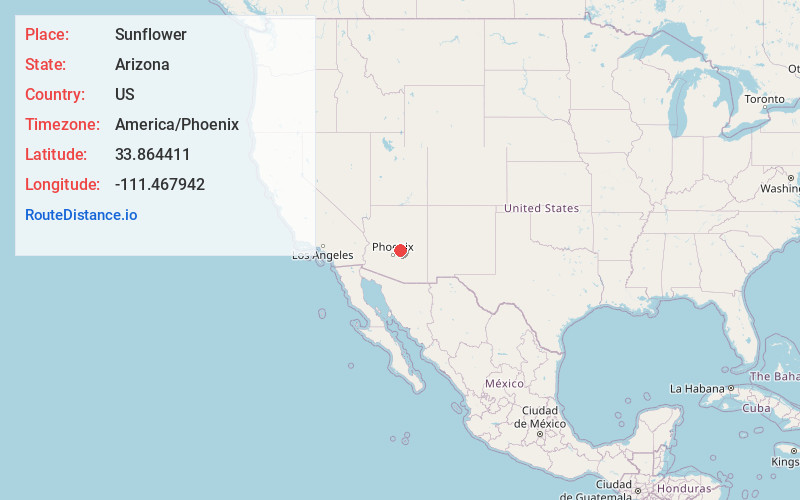
Full AddressSunflower, AZ 85263
-
Coordinates33.8644105, -111.4679424
-
LocationArizona , US
-
TimezoneAmerica/Phoenix
-
Current Local Time1:13:27 AM America/PhoenixFriday, June 20, 2025
-
Page Views0
About Sunflower
Sunflower is a region of Maricopa County, Arizona, United States adjacent to the Mazatzal Wilderness, west of Tonto National Forest and northwest of Roosevelt Reservoir. Formerly a mercury-mining district, Sunflower is now a destination for hikers, campers and off-road vehicle tours.


Nearby Places
Found 10 places within 50 miles

Tonto Basin
9.1 mi
14.6 km
Tonto Basin, AZ 85553
Get directions

Walnut Creek
11.4 mi
18.3 km
Walnut Creek, Tonto Basin, AZ 85553
Get directions

Jakes Corner
13.2 mi
21.2 km
Jakes Corner, AZ 85541
Get directions
Deer Creek
15.2 mi
24.5 km
Deer Creek, AZ 85541
Get directions

Rio Verde
15.4 mi
24.8 km
Rio Verde, AZ 85263
Get directions

Rye
18.1 mi
29.1 km
Rye, AZ 85541
Get directions

Gisela
19.6 mi
31.5 km
Gisela, AZ 85541
Get directions

Fountain Hills
23.3 mi
37.5 km
Fountain Hills, AZ 85268
Get directions

Roosevelt
23.5 mi
37.8 km
Roosevelt, AZ 85545
Get directions

Carefree
26.0 mi
41.8 km
Carefree, AZ
Get directions
Location Links
Local Weather
Weather Information
Coming soon!
Location Map
Static map view of Sunflower, Arizona
Browse Places by Distance
Places within specific distances from Sunflower
Short Distances
Long Distances
Click any distance to see all places within that range from Sunflower. Distances shown in miles (1 mile ≈ 1.61 kilometers).