Distance to Tonto Basin, Arizona

Calculating Your Route
Just a moment while we process your request...
Location Information
-
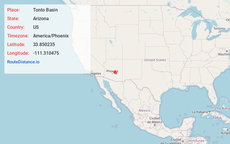
Full AddressTonto Basin, AZ 85553
-
Coordinates33.8502345, -111.3104752
-
LocationTonto Basin , Arizona , US
-
TimezoneAmerica/Phoenix
-
Current Local Time7:15:50 PM America/PhoenixThursday, June 19, 2025
-
Page Views0
About Tonto Basin
Tonto Basin is a census-designated place in Gila County, Arizona, United States. The population was 1,424 at the 2010 United States Census, up from 840 in 2000.
Within Tonto Basin is located in the unincorporated community of Punkin Center.


Nearby Places
Found 10 places within 50 miles

Rio Verde
22.8 mi
36.7 km
Rio Verde, AZ 85263
Get directions

Payson
26.3 mi
42.3 km
Payson, AZ 85541
Get directions

Star Valley
28.0 mi
45.1 km
Star Valley, AZ 85541
Get directions

Fountain Hills
29.3 mi
47.2 km
Fountain Hills, AZ 85268
Get directions

Apache Junction
33.1 mi
53.3 km
Apache Junction, AZ
Get directions

Gold Canyon
34.9 mi
56.2 km
Gold Canyon, AZ
Get directions

Carefree
34.9 mi
56.2 km
Carefree, AZ
Get directions

Cave Creek
36.6 mi
58.9 km
Cave Creek, AZ
Get directions

Pine
37.8 mi
60.8 km
Pine, AZ 85544
Get directions

Miami
40.2 mi
64.7 km
Miami, AZ 85539
Get directions
Location Links
Local Weather
Weather Information
Coming soon!
Location Map
Static map view of Tonto Basin, Arizona
Browse Places by Distance
Places within specific distances from Tonto Basin
Short Distances
Long Distances
Click any distance to see all places within that range from Tonto Basin. Distances shown in miles (1 mile ≈ 1.61 kilometers).