Distance to Star Valley, Arizona

Calculating Your Route
Just a moment while we process your request...
Location Information
-
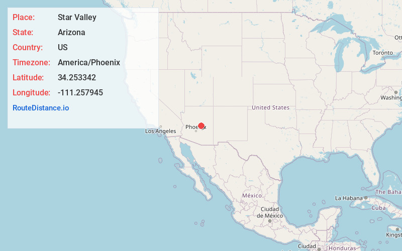
Full AddressStar Valley, AZ 85541
-
Coordinates34.2533416, -111.2579449
-
LocationStar Valley , Arizona , US
-
TimezoneAmerica/Phoenix
-
Current Local Time9:50:19 AM America/PhoenixFriday, May 30, 2025
-
Page Views0
About Star Valley
Star Valley is a town in Gila County, Arizona, United States, incorporated in 2005. Before incorporation, it was a census-designated place. As of the 2020 census the population of the town was 2,484.


Nearby Places
Found 9 places within 50 miles

Payson
4.1 mi
6.6 km
Payson, AZ 85541
Get directions

Lake Montezuma
39.5 mi
63.6 km
Lake Montezuma, AZ 86335
Get directions

Camp Verde
40.2 mi
64.7 km
Camp Verde, AZ 86322
Get directions

Heber-Overgaard
41.2 mi
66.3 km
Heber-Overgaard, AZ
Get directions

Village of Oak Creek
46.4 mi
74.7 km
Village of Oak Creek, AZ 86351
Get directions

Carefree
48.1 mi
77.4 km
Carefree, AZ
Get directions

Cordes Lakes
48.5 mi
78.1 km
Cordes Lakes, AZ 86333
Get directions

Cave Creek
49.0 mi
78.9 km
Cave Creek, AZ
Get directions

Cornville
49.6 mi
79.8 km
Cornville, AZ 86325
Get directions
Location Links
Local Weather
Weather Information
Coming soon!
Location Map
Static map view of Star Valley, Arizona
Browse Places by Distance
Places within specific distances from Star Valley
Short Distances
Long Distances
Click any distance to see all places within that range from Star Valley. Distances shown in miles (1 mile ≈ 1.61 kilometers).