Distance to Heber-Overgaard, Arizona

Calculating Your Route
Just a moment while we process your request...
Location Information
-
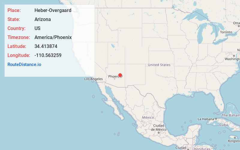
Full AddressHeber-Overgaard, AZ
-
Coordinates34.413874, -110.5632588
-
LocationHeber-Overgaard , Arizona , US
-
TimezoneAmerica/Phoenix
-
Current Local Time1:37:21 PM America/PhoenixMonday, June 2, 2025
-
Website
-
Page Views0
About Heber-Overgaard
Heber-Overgaard is a census-designated place in Navajo County, Arizona, United States. Situated atop the Mogollon Rim, the community lies at an elevation of 6,627 feet. The population was 2,898 at the 2020 census.


Nearby Places
Found 7 places within 50 miles

Taylor
27.1 mi
43.6 km
Taylor, AZ
Get directions

Snowflake
28.5 mi
45.9 km
Snowflake, AZ 85937
Get directions

Show Low
32.4 mi
52.1 km
Show Low, AZ
Get directions

Pinetop-Lakeside
39.2 mi
63.1 km
Pinetop-Lakeside, AZ
Get directions

Holbrook
40.9 mi
65.8 km
Holbrook, AZ 86025
Get directions

Winslow
42.9 mi
69.0 km
Winslow, AZ 86047
Get directions

Payson
45.3 mi
72.9 km
Payson, AZ 85541
Get directions
Location Links
Local Weather
Weather Information
Coming soon!
Location Map
Static map view of Heber-Overgaard, Arizona
Browse Places by Distance
Places within specific distances from Heber-Overgaard
Short Distances
Long Distances
Click any distance to see all places within that range from Heber-Overgaard. Distances shown in miles (1 mile ≈ 1.61 kilometers).