Distance to Taylor, Arizona

Calculating Your Route
Just a moment while we process your request...
Location Information
-
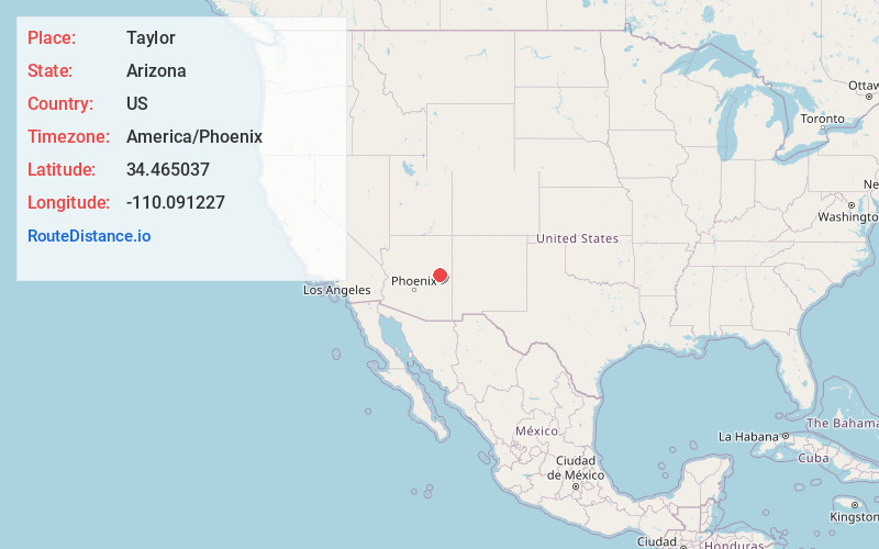
Full AddressTaylor, AZ
-
Coordinates34.4650374, -110.0912265
-
LocationTaylor , Arizona , US
-
TimezoneAmerica/Phoenix
-
Current Local Time8:56:06 AM America/PhoenixThursday, June 19, 2025
-
Website
-
Page Views0
About Taylor
Taylor is a town in Navajo County, Arizona, United States. It was founded by settlers of The Church of Jesus Christ of Latter-day Saints in January 1878, several months before the neighboring community of Snowflake.


Nearby Places
Found 5 places within 50 miles

Snowflake
3.4 mi
5.5 km
Snowflake, AZ 85937
Get directions

Show Low
15.0 mi
24.1 km
Show Low, AZ
Get directions

Pinetop-Lakeside
23.5 mi
37.8 km
Pinetop-Lakeside, AZ
Get directions

Holbrook
30.4 mi
48.9 km
Holbrook, AZ 86025
Get directions

Whiteriver
44.0 mi
70.8 km
Whiteriver, AZ 85941
Get directions
Location Links
Local Weather
Weather Information
Coming soon!
Location Map
Static map view of Taylor, Arizona
Browse Places by Distance
Places within specific distances from Taylor
Short Distances
Long Distances
Click any distance to see all places within that range from Taylor. Distances shown in miles (1 mile ≈ 1.61 kilometers).