Distance to Apache Junction, Arizona

Calculating Your Route
Just a moment while we process your request...
Location Information
-
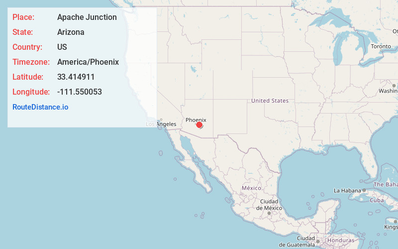
Full AddressApache Junction, AZ
-
Coordinates33.414911, -111.5500532
-
LocationApache Junction , Arizona , US
-
TimezoneAmerica/Phoenix
-
Current Local Time2:17:44 AM America/PhoenixWednesday, June 18, 2025
-
Website
-
Page Views0
About Apache Junction
Apache Junction is a city in Pinal and Maricopa County, Arizona, United States. As of the 2020 census, the population was 38,499, most of whom lived in Pinal County. It is named for the junction of the Apache Trail and Old West Highway. The area where Apache Junction is located used to be known as Youngberg.


Nearby Places
Found 10 places within 50 miles

Queen Creek
12.6 mi
20.3 km
Queen Creek, AZ
Get directions

Gilbert
14.4 mi
23.2 km
Gilbert, AZ
Get directions

Mesa
16.2 mi
26.1 km
Mesa, AZ
Get directions

San Tan Valley
16.4 mi
26.4 km
San Tan Valley, AZ
Get directions

Chandler
18.4 mi
29.6 km
Chandler, AZ
Get directions

Scottsdale
22.1 mi
35.6 km
Scottsdale, AZ
Get directions

Tempe
22.5 mi
36.2 km
Tempe, AZ
Get directions

Phoenix
30.5 mi
49.1 km
Phoenix, AZ
Get directions

Casa Grande
37.1 mi
59.7 km
Casa Grande, AZ
Get directions

Glendale
37.6 mi
60.5 km
Glendale, AZ
Get directions
Location Links
Local Weather
Weather Information
Coming soon!
Location Map
Static map view of Apache Junction, Arizona
Browse Places by Distance
Places within specific distances from Apache Junction
Short Distances
Long Distances
Click any distance to see all places within that range from Apache Junction. Distances shown in miles (1 mile ≈ 1.61 kilometers).