Distance to Walnut Creek, Arizona

Calculating Your Route
Just a moment while we process your request...
Location Information
-
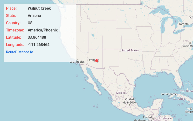
Full AddressWalnut Creek, Tonto Basin, AZ 85553
-
Coordinates33.8644884, -111.2684637
-
LocationTonto Basin , Arizona , US
-
TimezoneAmerica/Phoenix
-
Current Local Time1:46:00 PM America/PhoenixTuesday, May 20, 2025
-
Page Views0
Nearby Places
Found 10 places within 50 miles

Tonto Basin
2.6 mi
4.2 km
Tonto Basin, AZ 85553
Get directions

Rio Verde
25.4 mi
40.9 km
Rio Verde, AZ 85263
Get directions

Payson
25.5 mi
41.0 km
Payson, AZ 85541
Get directions

Star Valley
26.9 mi
43.3 km
Star Valley, AZ 85541
Get directions

Fountain Hills
31.8 mi
51.2 km
Fountain Hills, AZ 85268
Get directions

Apache Junction
35.0 mi
56.3 km
Apache Junction, AZ
Get directions

Gold Canyon
36.4 mi
58.6 km
Gold Canyon, AZ
Get directions

Carefree
37.4 mi
60.2 km
Carefree, AZ
Get directions

Pine
37.5 mi
60.4 km
Pine, AZ 85544
Get directions

Cave Creek
39.0 mi
62.8 km
Cave Creek, AZ
Get directions
Location Links
Local Weather
Weather Information
Coming soon!
Location Map
Static map view of Walnut Creek, Arizona
Browse Places by Distance
Places within specific distances from Walnut Creek
Short Distances
Long Distances
Click any distance to see all places within that range from Walnut Creek. Distances shown in miles (1 mile ≈ 1.61 kilometers).