Distance to Deer Creek, Arizona

Calculating Your Route
Just a moment while we process your request...
Location Information
-
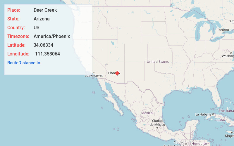
Full AddressDeer Creek, AZ 85541
-
Coordinates34.0633397, -111.3530641
-
LocationDeer Creek , Arizona , US
-
TimezoneAmerica/Phoenix
-
Current Local Time12:53:15 PM America/PhoenixWednesday, May 21, 2025
-
Page Views0
About Deer Creek
Deer Creek is a census-designated place in Gila County in the U.S. state of Arizona. Deer Creek is located almost directly between the community of Tonto Basin and the town of Payson near Arizona State Route 87. The population as of the 2010 U.S. Census was 216.
Nearby Places
Found 10 places within 50 miles

Jakes Corner
4.1 mi
6.6 km
Jakes Corner, AZ 85541
Get directions

Gisela
5.0 mi
8.0 km
Gisela, AZ 85541
Get directions

Payson
11.7 mi
18.8 km
Payson, AZ 85541
Get directions

Star Valley
14.2 mi
22.9 km
Star Valley, AZ 85541
Get directions

Walnut Creek
14.6 mi
23.5 km
Walnut Creek, Tonto Basin, AZ 85553
Get directions

Tonto Basin
14.9 mi
24.0 km
Tonto Basin, AZ 85553
Get directions

East Verde Estates
16.0 mi
25.7 km
East Verde Estates, AZ 85541
Get directions
Freedom Acres
17.8 mi
28.6 km
Freedom Acres, AZ 85541
Get directions

Beaver Valley Estates
19.1 mi
30.7 km
Beaver Valley Estates, Beaver Valley, AZ 85541
Get directions
Tonto Village
21.6 mi
34.8 km
Tonto Village, AZ 85541
Get directions
Location Links
Local Weather
Weather Information
Coming soon!
Location Map
Static map view of Deer Creek, Arizona
Browse Places by Distance
Places within specific distances from Deer Creek
Short Distances
Long Distances
Click any distance to see all places within that range from Deer Creek. Distances shown in miles (1 mile ≈ 1.61 kilometers).