Distance to and from Camp Helen State Park, Florida
Camp Helen State Park, 23937 Panama City Beach Pkwy, Panama City Beach, FL 32413
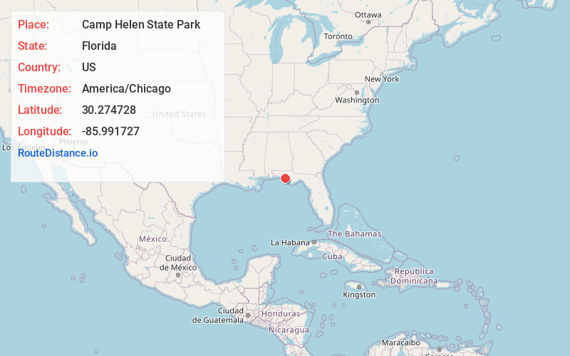
Panama City Beach
Florida
US
America/Chicago
Location Information
-
Full AddressCamp Helen State Park, 23937 Panama City Beach Pkwy, Panama City Beach, FL 32413
-
Coordinates30.2747281, -85.9917274
-
Street23937 Panama City Beach Pkwy
-
NeighborhoodSunnyside
-
LocationPanama City Beach , Florida , US
-
TimezoneAmerica/Chicago
-
Current Local Time6:50:22 PM America/ChicagoSaturday, May 3, 2025
-
Page Views0
Directions to Nearest Cities
About Camp Helen State Park
Featuring a large coastal dune lake, this vast park offers swimming, hiking & fishing for all ages.


Nearby Places
Found 10 places within 50 miles

Rosemary Beach
1.6 mi
2.6 km
Rosemary Beach, FL 32413
Get directions

Alys Beach
2.4 mi
3.9 km
Alys Beach, FL 32413
Get directions

Watersound
2.5 mi
4.0 km
Watersound, FL 32413
Get directions

Seacrest
3.6 mi
5.8 km
Seacrest, FL 32413
Get directions

Laguna Beach
4.7 mi
7.6 km
Laguna Beach, FL 32413
Get directions

Laird
5.1 mi
8.2 km
Laird, FL 32413
Get directions

Panama City Beach
6.9 mi
11.1 km
Panama City Beach, FL
Get directions
Gulf Resort Beach
6.9 mi
11.1 km
Gulf Resort Beach, Panama City Beach, FL 32413
Get directions

West Bay
8.0 mi
12.9 km
West Bay, FL 32413
Get directions

Seagrove Beach
8.7 mi
14.0 km
Seagrove Beach, FL 32459
Get directions
Rosemary Beach
1.6 mi
2.6 km
Rosemary Beach, FL 32413
Alys Beach
2.4 mi
3.9 km
Alys Beach, FL 32413
Watersound
2.5 mi
4.0 km
Watersound, FL 32413
Seacrest
3.6 mi
5.8 km
Seacrest, FL 32413
Laguna Beach
4.7 mi
7.6 km
Laguna Beach, FL 32413
Laird
5.1 mi
8.2 km
Laird, FL 32413
Panama City Beach
6.9 mi
11.1 km
Panama City Beach, FL
Gulf Resort Beach
6.9 mi
11.1 km
Gulf Resort Beach, Panama City Beach, FL 32413
West Bay
8.0 mi
12.9 km
West Bay, FL 32413
Seagrove Beach
8.7 mi
14.0 km
Seagrove Beach, FL 32459
Location Links
Local Weather
Weather Information
Coming soon!
Location Map
Static map view of Camp Helen State Park, Florida
Browse Places by Distance
Places within specific distances from Camp Helen State Park
Short Distances
Long Distances
Click any distance to see all places within that range from Camp Helen State Park. Distances shown in miles (1 mile ≈ 1.61 kilometers).