Distance to Camp Leach, North Carolina

Calculating Your Route
Just a moment while we process your request...
Location Information
-
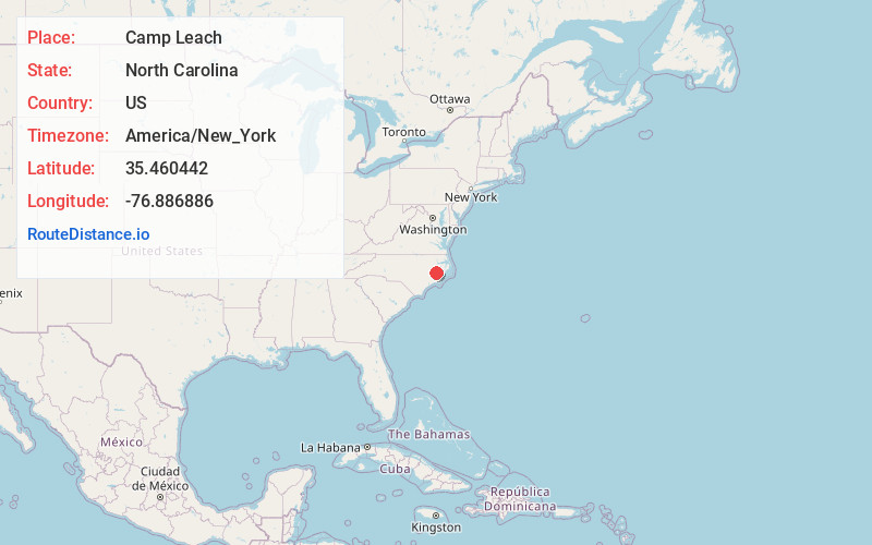
Full AddressCamp Leach, NC 27889
-
Coordinates35.4604422, -76.8868862
-
LocationNorth Carolina , US
-
TimezoneAmerica/New_York
-
Current Local Time5:32:15 AM America/New_YorkWednesday, June 18, 2025
-
Page Views0
About Camp Leach
Camp Leach, formerly known as the American University Experimental Station and Camp American University, was a World War I era United States Army camp built by the Corps of Engineers on American University property in Washington, D.C. It was named in honor of Colonel Smith S. Leach, Corps of Engineers.
Nearby Places
Found 10 places within 50 miles

Hawkins Landing
2.0 mi
3.2 km
Hawkins Landing, NC 27808
Get directions
Core Point
3.2 mi
5.1 km
Core Point, NC 27814
Get directions

Bath
4.4 mi
7.1 km
Bath, NC 27808
Get directions
Gilead
5.5 mi
8.9 km
Gilead, NC 27817
Get directions
Bayview
5.6 mi
9.0 km
Bayview, NC 27808
Get directions
Douglas Crossroads
5.9 mi
9.5 km
Douglas Crossroads, NC 27889
Get directions
Camp Hardee
6.1 mi
9.8 km
Camp Hardee, NC 27814
Get directions
Shady Banks
6.2 mi
10.0 km
Shady Banks, River Rd, NC 27889
Get directions
Boyds Fork
6.3 mi
10.1 km
Boyds Fork, NC 27865
Get directions
River Acres
6.5 mi
10.5 km
River Acres, River Rd, NC 27889
Get directions
Location Links
Local Weather
Weather Information
Coming soon!
Location Map
Static map view of Camp Leach, North Carolina
Browse Places by Distance
Places within specific distances from Camp Leach
Short Distances
Long Distances
Click any distance to see all places within that range from Camp Leach. Distances shown in miles (1 mile ≈ 1.61 kilometers).