Distance to Camp Thayer, California

Calculating Your Route
Just a moment while we process your request...
Location Information
-
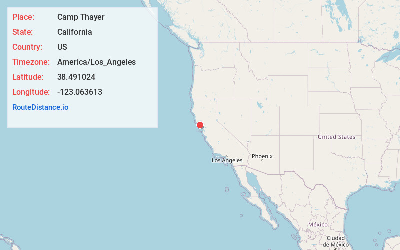
Full AddressCamp Thayer, CA 95421
-
Coordinates38.4910244, -123.0636126
-
LocationCamp Thayer , California , US
-
TimezoneAmerica/Los_Angeles
-
Current Local Time3:38:15 PM America/Los_AngelesSunday, June 1, 2025
-
Page Views0
Nearby Places
Found 10 places within 50 miles

Sheridan
2.3 mi
3.7 km
Sheridan, CA 95462
Get directions

Duncans Mills
2.6 mi
4.2 km
Duncans Mills, CA 95450
Get directions

Monte Rio
3.3 mi
5.3 km
Monte Rio, CA
Get directions
Northwood Heights
3.6 mi
5.8 km
Northwood Heights, CA 95446
Get directions

Guerneville
3.7 mi
6.0 km
Guerneville, CA 95446
Get directions

Jenner
4.0 mi
6.4 km
Jenner, CA 95450
Get directions
Tyrone
4.5 mi
7.2 km
Tyrone, CA 95465
Get directions

Goat Rock Beach
4.6 mi
7.4 km
Goat Rock Beach, Jenner, CA 95450
Get directions
Korbel
5.5 mi
8.9 km
Korbel, CA 95436
Get directions
Noel Heights
5.5 mi
8.9 km
Noel Heights, CA 95446
Get directions
Location Links
Local Weather
Weather Information
Coming soon!
Location Map
Static map view of Camp Thayer, California
Browse Places by Distance
Places within specific distances from Camp Thayer
Short Distances
Long Distances
Click any distance to see all places within that range from Camp Thayer. Distances shown in miles (1 mile ≈ 1.61 kilometers).