Distance to Campbell, Virginia

Calculating Your Route
Just a moment while we process your request...
Location Information
-
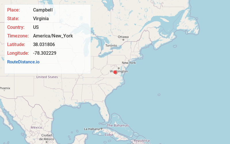
Full AddressCampbell, VA 22947
-
Coordinates38.0318056, -78.3022287
-
LocationCampbell , Virginia , US
-
TimezoneAmerica/New_York
-
Current Local Time6:28:11 PM America/New_YorkMonday, June 2, 2025
-
Page Views0
About Campbell
Campbell is an unincorporated community in Albemarle County, Virginia.
Nearby Places
Found 10 places within 50 miles

Rugby
1.7 mi
2.7 km
Rugby, VA 22947
Get directions

Keswick
3.3 mi
5.3 km
Keswick, VA 22947
Get directions
Whitlock
3.9 mi
6.3 km
Whitlock, VA 22942
Get directions
Rivanna
4.8 mi
7.7 km
Rivanna, VA 22947
Get directions
Paynes Mill
5.3 mi
8.5 km
Paynes Mill, VA 22974
Get directions

Pantops
7.5 mi
12.1 km
Pantops, VA
Get directions

Lake Monticello
8.1 mi
13.0 km
Lake Monticello, VA 22963
Get directions
Nahor
8.9 mi
14.3 km
Nahor, VA 22963
Get directions
Bybee
9.0 mi
14.5 km
Bybee, VA 22963
Get directions

Charlottesville
9.5 mi
15.3 km
Charlottesville, VA
Get directions
Location Links
Local Weather
Weather Information
Coming soon!
Location Map
Static map view of Campbell, Virginia
Browse Places by Distance
Places within specific distances from Campbell
Short Distances
Long Distances
Click any distance to see all places within that range from Campbell. Distances shown in miles (1 mile ≈ 1.61 kilometers).