Distance to Campbell, South Carolina

Calculating Your Route
Just a moment while we process your request...
Location Information
-
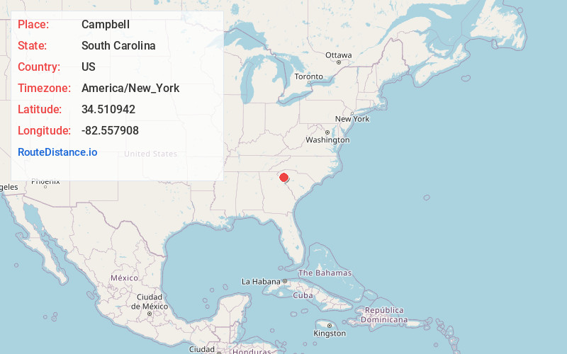
Full AddressCampbell, SC 29627
-
Coordinates34.5109416, -82.5579081
-
LocationSouth Carolina , US
-
TimezoneAmerica/New_York
-
Current Local Time10:36:59 AM America/New_YorkSaturday, June 21, 2025
-
Page Views0
Nearby Places
Found 10 places within 50 miles

Belton
3.7 mi
6.0 km
Belton, SC 29627
Get directions

Anderson
5.3 mi
8.5 km
Anderson, SC
Get directions

Homeland Park
7.0 mi
11.3 km
Homeland Park, SC
Get directions

Gluck
7.4 mi
11.9 km
Gluck, Homeland Park, SC 29624
Get directions

West Anderson
7.4 mi
11.9 km
West Anderson, SC 29626
Get directions
Northlake
8.2 mi
13.2 km
Northlake, SC
Get directions
Centerville
8.4 mi
13.5 km
Centerville, SC 29625
Get directions

Williamston
8.7 mi
14.0 km
Williamston, SC
Get directions

Honea Path
10.5 mi
16.9 km
Honea Path, SC 29654
Get directions
West Pelzer
10.5 mi
16.9 km
West Pelzer, SC 29669
Get directions
Location Links
Local Weather
Weather Information
Coming soon!
Location Map
Static map view of Campbell, South Carolina
Browse Places by Distance
Places within specific distances from Campbell
Short Distances
Long Distances
Click any distance to see all places within that range from Campbell. Distances shown in miles (1 mile ≈ 1.61 kilometers).