Distance to Honea Path, South Carolina

Calculating Your Route
Just a moment while we process your request...
Location Information
-
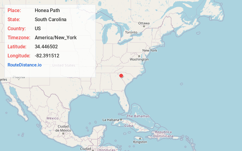
Full AddressHonea Path, SC 29654
-
Coordinates34.4465018, -82.3915121
-
LocationHonea Path , South Carolina , US
-
TimezoneAmerica/New_York
-
Current Local Time2:35:09 AM America/New_YorkWednesday, June 25, 2025
-
Website
-
Page Views0
About Honea Path
Honea Path is a town primarily in Anderson County, South Carolina and extending into Abbeville County in the northwest part of the state. The population was 3,686 at the 2020 census.


Nearby Places
Found 10 places within 50 miles

Belton
7.9 mi
12.7 km
Belton, SC 29627
Get directions

Williamston
12.9 mi
20.8 km
Williamston, SC
Get directions

Anderson
15.2 mi
24.5 km
Anderson, SC
Get directions

Homeland Park
16.0 mi
25.7 km
Homeland Park, SC
Get directions

Piedmont
18.2 mi
29.3 km
Piedmont, SC 29673
Get directions

Abbeville
18.6 mi
29.9 km
Abbeville, SC 29620
Get directions

Northlake
18.7 mi
30.1 km
Northlake, SC
Get directions
Centerville
18.8 mi
30.3 km
Centerville, SC 29625
Get directions

Fountain Inn
20.1 mi
32.3 km
Fountain Inn, SC
Get directions

Simpsonville
21.5 mi
34.6 km
Simpsonville, SC
Get directions
Location Links
Local Weather
Weather Information
Coming soon!
Location Map
Static map view of Honea Path, South Carolina
Browse Places by Distance
Places within specific distances from Honea Path
Short Distances
Long Distances
Click any distance to see all places within that range from Honea Path. Distances shown in miles (1 mile ≈ 1.61 kilometers).