Distance to Campbell Township, Indiana

Calculating Your Route
Just a moment while we process your request...
Location Information
-
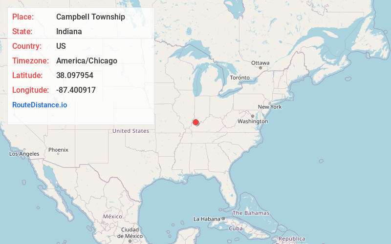
Full AddressCampbell Township, IN
-
Coordinates38.0979543, -87.4009165
-
LocationCampbell Township , Indiana , US
-
TimezoneAmerica/Chicago
-
Current Local Time3:35:04 PM America/ChicagoFriday, June 13, 2025
-
Page Views0
About Campbell Township
Campbell Township is one of ten townships in Warrick County, Indiana, United States. As of the 2010 census, its population was 906 and it contained 353 housing units.
Nearby Places
Found 10 places within 50 miles

Fisherville
2.0 mi
3.2 km
Fisherville, Campbell Township, IN 47613
Get directions
Baugh City
3.9 mi
6.3 km
Baugh City, Campbell Township, IN 47610
Get directions
Elliott
4.2 mi
6.8 km
Elliott, IN 47725
Get directions

Chandler
4.3 mi
6.9 km
Chandler, IN
Get directions

Daylight
4.9 mi
7.9 km
Daylight, IN 47725
Get directions

Elberfeld
5.0 mi
8.0 km
Elberfeld, IN 47613
Get directions
Stanley
5.2 mi
8.4 km
Stanley, Hart Township, IN 47619
Get directions
Earle
6.2 mi
10.0 km
Earle, IN 47725
Get directions
Stevenson
6.6 mi
10.6 km
Stevenson, IN 47610
Get directions
Victoria
6.9 mi
11.1 km
Victoria, IN 47601
Get directions
Location Links
Local Weather
Weather Information
Coming soon!
Location Map
Static map view of Campbell Township, Indiana
Browse Places by Distance
Places within specific distances from Campbell Township
Short Distances
Long Distances
Click any distance to see all places within that range from Campbell Township. Distances shown in miles (1 mile ≈ 1.61 kilometers).