Distance to Chandler, Indiana

Calculating Your Route
Just a moment while we process your request...
Location Information
-
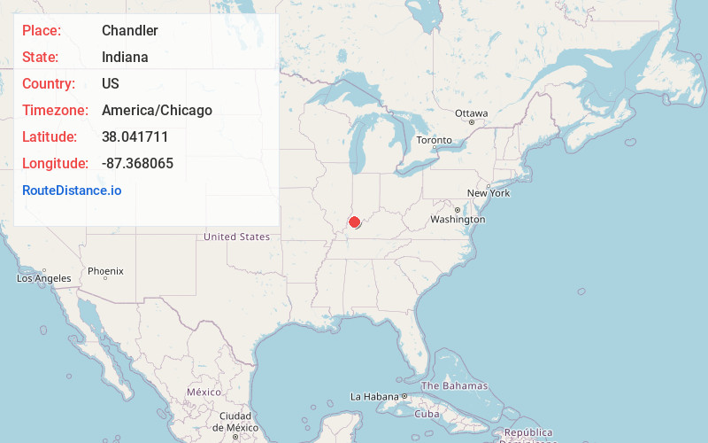
Full AddressChandler, IN
-
Coordinates38.0417113, -87.3680648
-
LocationChandler , Indiana , US
-
TimezoneAmerica/Chicago
-
Current Local Time7:08:05 PM America/ChicagoWednesday, June 18, 2025
-
Website
-
Page Views0
About Chandler
Chandler is a town straddling Ohio and Boon Township in Warrick County, Indiana, United States, located just east of Evansville, Indiana along the Ohio River. The population was 3,693 at the 2020 census, making it Warrick County's second-most populous municipality after Boonville.


Nearby Places
Found 10 places within 50 miles

Boonville
5.1 mi
8.2 km
Boonville, IN 47601
Get directions

Evansville
12.1 mi
19.5 km
Evansville, IN
Get directions

Henderson
18.4 mi
29.6 km
Henderson, KY 42420
Get directions

Owensboro
23.5 mi
37.8 km
Owensboro, KY
Get directions

Princeton
24.2 mi
38.9 km
Princeton, IN 47670
Get directions

Huntingburg
28.6 mi
46.0 km
Huntingburg, IN 47542
Get directions

Mt Vernon
29.7 mi
47.8 km
Mt Vernon, IN 47620
Get directions

Mt Carmel
33.3 mi
53.6 km
Mt Carmel, IL 62863
Get directions

Tell City
33.3 mi
53.6 km
Tell City, IN
Get directions

Jasper
33.9 mi
54.6 km
Jasper, IN
Get directions
Location Links
Local Weather
Weather Information
Coming soon!
Location Map
Static map view of Chandler, Indiana
Browse Places by Distance
Places within specific distances from Chandler
Short Distances
Long Distances
Click any distance to see all places within that range from Chandler. Distances shown in miles (1 mile ≈ 1.61 kilometers).