Distance to Campbellstown, Ohio

Calculating Your Route
Just a moment while we process your request...
Location Information
-
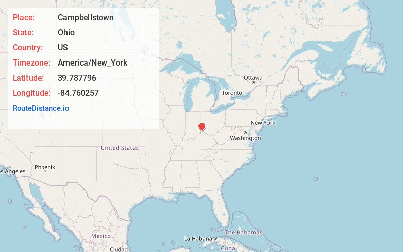
Full AddressCampbellstown, OH 45320
-
Coordinates39.7877962, -84.760257
-
LocationCampbellstown , Ohio , US
-
TimezoneAmerica/New_York
-
Current Local Time2:41:34 AM America/New_YorkSunday, May 25, 2025
-
Page Views0
About Campbellstown
Campbellstown is an unincorporated community in Jackson Township, Preble County, Ohio United States. The community is served by National Trail High School and the National Trail Local School District.
Nearby Places
Found 10 places within 50 miles

New Hope
2.6 mi
4.2 km
New Hope, OH 45320
Get directions
New Westville
2.9 mi
4.7 km
New Westville, Jackson Township, OH 45347
Get directions
West Florence
3.0 mi
4.8 km
West Florence, OH 45320
Get directions

Dixon Township
4.8 mi
7.7 km
Dixon Township, OH
Get directions
Locust Grove
5.0 mi
8.0 km
Locust Grove, Boston Township, IN 47374
Get directions

New Paris
5.1 mi
8.2 km
New Paris, OH 45347
Get directions
Boston
5.8 mi
9.3 km
Boston, IN
Get directions
Sugar Valley
7.1 mi
11.4 km
Sugar Valley, Dixon Township, OH 45320
Get directions

Eaton
7.2 mi
11.6 km
Eaton, OH 45320
Get directions
Brinley
7.5 mi
12.1 km
Brinley, Jefferson Township, OH 45347
Get directions
Location Links
Local Weather
Weather Information
Coming soon!
Location Map
Static map view of Campbellstown, Ohio
Browse Places by Distance
Places within specific distances from Campbellstown
Short Distances
Long Distances
Click any distance to see all places within that range from Campbellstown. Distances shown in miles (1 mile ≈ 1.61 kilometers).